Find a Walk

Walks Directory
Welcome to Bushwalking Victoria’s Walks Directory. Here you will find the bushwalks our member clubs believe are among the best available that showcase Victorian bushwalking. It is by no means intended to be a comprehensive listing of Victoria's bushwalks, these are just some of our clubs' favourites. There are many dedicated websites and apps available to source walks information, such as Trail Hiking Australia and AllTrails.
Most of the walks in this directory were chosen by clubs to be included in the Bushwalking Victoria annual Federation Walks (FedWalks) program.
The Federation Walks event is a member-only event hosted by clubs and held annually in a different part of Victoria. The name dates from 1934 when Bushwalking Victoria was known as the Federation of Victorian Bushwalking Clubs. Click for more information on FedWalks.
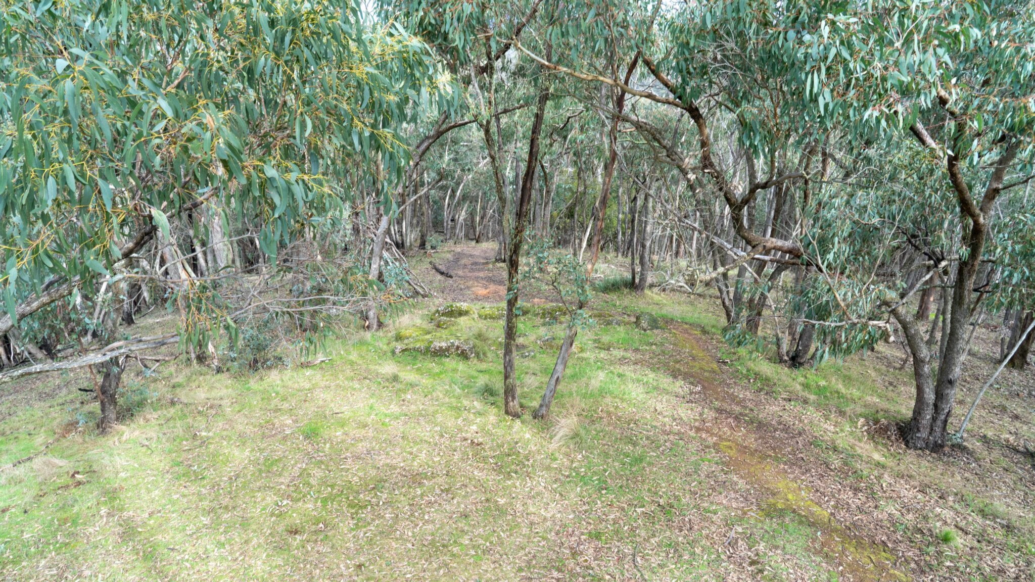
This Directory predominantly contains day walks.
IMPORTANT: These walk descriptions were current at the time of the Fedwalks event. To ensure you have the most current walk details, please cross-check with other walks resources, as listed above.
Grade 1
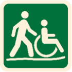
No bushwalking experience required. Flat even surface with no steps or steep sections. Suitable for wheelchair users who have someone to assist them. Walks no greater than 5km.
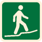
Grade 2
No bushwalking experience required. The track is a hardened or compacted surface and may have a gentle hill section or sections and occasional steps. Walks no greater than 10km.
Grade 3
Suitable for most ages and fitness levels. Some bushwalking experience recommended. Tracks may have short steep hill sections and rough surface and many steps. Walks up to 20km.
Grade 4
Bushwalking experience recommended. Tracks may be long, rough and very steep. Directional signage may be limited.
Grade 5
Very experienced bushwalkers with specialized skills, including navigation and emergency first aid. Tracks are likely to be very rough, very steep and unmarked. Walks may be longer than 20km.


-
-
Walk Name
-
Fedwalk Location
-
Fedwalk Year
-
Walk Region
-
Walk Grade
-
Walk Style
-
Walk Length
-

18A Lohs’s Lane, Lower Chadwick and Razorback Circuit (Option 2) (2023)
Trentham 2023
20 Whisky Creek to Ambler Lane Circuit (2023)
Trentham 2023
19 Paradise Mill Circuit (2023)
Trentham 2023
18 Lohs’s Lane, Lower Chadwick and Ah Kow Spurs Circuit (2023)
Trentham 2023
17 Green Gully Circuit (2023)
Trentham 2023

16 Spargo Creek & Werribee River Loop (2023)
Trentham 2023
15 Balt Camp Circuit (2023)
Trentham 2023