Posted on

Grampians Gariwerd Landscape – Information Update – Deer Operations

Parks Victoria will commence aerial and ground-based pest animal control operations across the Grampians (Gariwerd) National Park and Black Range State Park during October 2023. Parks Victoria staff will continue to support these efforts with staged ground-based operations throughout the year, including at Black Range Scenic reserve.

The first aerial operation is scheduled to commence Tuesday 10th October, and conclude Thursday 12th October 2023. Please refer to a Fact sheet showing the operation areas with approximate dates and times of temporary closures, and a list of these closures is shown below.

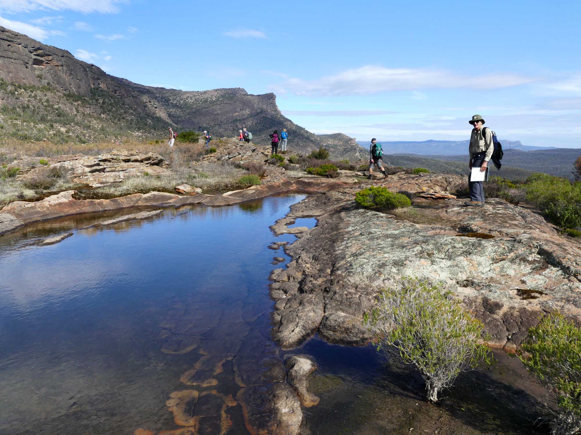
  • During operations, some key visitor sites including the Grampians Peaks Trail and other walking tracks may be temporarily closed (up to two hours) for visitor safety. See list below.
  • Park closures will be clearly signposted and managed by staff
  • Visitors are asked to refrain from entering closed areas, staying on designated walking tracks or modifying their plans to visit outside of the hours of operation.
  • Visitors may be able to see helicopters flying at low levels and hear gunshots

Informed by scientific research, this program is aimed at controlling/reducing introduced Goat and Deer populations that are threatening the important natural and cultural values of the Greater Gariwerd Landscape. Qualified and experienced contractors will undertake aerial based control operations across the landscape where these animals are impacting vegetation and cultural values. All Parks Victoria’s conservation programs are thoroughly planned and implemented under strict protocols and oversight, ensuring that operations are safe, effective, humane and meet obligations of all relevant legislation, Codes of Practice and Standard Operating Procedures.

For Further Information about this operation please refer to the Deer Control Program Fact Sheet. For Information about temporary park closures visit Parks Victoria website, or call the Parks Victoria Information centre on 13 19 63.

Click HERE for a fact sheet and list of visitor sites and roads potentially impacted by temporary closures.

Posted on

Club Spring Walk Programs

Speaking of Spring, many clubs have published their spring walk programs.  Our clubs have most of Victoria covered, with upcoming walks in the Brisbane Ranges, Olinda Falls in the Dandenongs, Mount Samaria, Stawell Wildflowers, 5 Waterfalls & a Canyon in Lorne, Mirboo North Regional Park, Benalla Silo Art, Falls Creek Pretty Valley Circuit and many more.  You can find links to all our clubs HERE.

Posted on

Map Apps and Digital Apps

Map apps with digital maps are available for mobile phones, tablets and laptops. The GPS function on the device shows the current location on the selected map.  In effect it operates the same as a handheld GPS.

Google Maps is the everyday example of a map app. However Google Maps “terrain view” has limited detail for bushwalking purposes.

Other map apps provide much better topographic maps for bushwalking, from a variety of sources. Read More HERE

Posted on

The Best Stretches for Hiking!

Stretching before a hike is essential for preparing your body for the physical activity and reducing the risk of injury. Hiking involves a lot of physical exertion, including walking, climbing, and descending on uneven terrain. By stretching before a hike, you can increase your flexibility, improve your range of motion, and enhance your muscle function, which can all help to improve your performance and reduce the risk of strain or injury. Read More HERE

Source: Summit Strength

Posted on

The Wonder of the Western Port Woodlands!

In one of the most cleared regions of the most cleared state is an oasis of native vegetation. The Western Port Woodlands is the largest remnant of intact coastal woodlands in the region. The Woodlands comprise five small reserves and patches of private land. It stretches from Lang Lang to Grantville on the eastern shore of Western Port Bay.

The VNPA’s Wildlife corridor or sand pit? report found these connected patches of bush are both rare and critical. They’re home to many threatened wildlife and habitats – Southern Brown Bandicoots, fungi and Australia’s largest owl, the Powerful Owl.

But right now, it’s under threat from sand mining. Read more HERE

Source: VNPA

Posted on

Deer Control Programs

Parks Victoria is responsible for conservation management to restore and protect park habitat, including the control of introduced plant and animal species.  Deer control programs programs are occurring in the following parks:

Bunyip SP and Kurth Kiln Regional Park – November 2022 – June 2023

Following the 2019 bushfires Parks Victoria has observed large numbers of deer within the park. A controlled, safe and humane deer control operation will occur up until June 2023. Signs will be displayed at entrance ponts to control zones.  For more information and area map read HERE

Baw Baw National Park 5-11 March 2023

Parks Victoria will engage the services of a contractor to undertake deer control in the Baw Baw National Park on 5-11 March 2023, dependent on weather conditions. The park will not be closed when deer control work is being undertaken. Signs will be placed at major access points advising visitors that deer control is being undertaken. For more information and area map read HERE

Posted on

Parks Victoria – Deer Control Program – Baw Baw National Park

Parks Victoria will engage the services of a contractor to undertake deer control in the Baw Baw National Park on 5-11 March 2023, dependent on weather conditions. The above map shows the area in which deer control will occur.

The park will not be closed when deer control work is being undertaken. Signs will be placed at major access points advising visitors that deer control is being undertaken. All personnel involved will be working under the supervision of Parks Victoria staff. They will be readily identifiable and will act in accordance with all legal requirements to ensure the safe use of firearms. Over the past decade there has been a significant expansion of deer across Victoria and of particular concern is the increasing deer activity at higher elevations. Baw Baw National Park is home to high quality, relatively intact, alpine peatlands and deer presence has a significant impact on the resilience of alpine peatlands.

Alpine Peatlands and Associated Fens are an endangered ecological community listed under national and state legislation (the Commonwealth Environmental Protection and Biodiversity Conservation Act (1999) and Victorian Flora and Fauna Guarantee Act (1988)). They provide a critical hydrological function at the top of the water catchment, filtering water and modulating flows. Alpine peatlands also provide habitat for several threatened species including the alpine water skink, alpine she oak skink and Baw Baw frog.

Deer pose the greatest threat to alpine peatlands by trampling, wallowing, grazing and thrashing their antlers to remove vegetation. A recent study by Davies et al. 2020 used a camera array to confirm anecdotal information that Sambar deer are present in Baw Baw National Park.

The Alpine National Park Deer Control Trial (which concluded in 2020) has shown ground shooting using contractors is an efficient and effective approach for controlling deer in the alpine environment. Parks Victoria takes coordinated action, informed by scientific research, tailored to individual parks and target species, to reduce the damage caused by deer and feral animals. Each conservation program is one of hundreds of programs across Victoria using available tools to protect nature.

Please contact Parks Victoria if you have any questions or would like more information on this project at conservation@parks.vic.gov.au, or call 13 1963

Posted on

Check your Map!

There are some really good hiking apps out there, but many are updated by people who don’t have an intimate knowledge of the local terrain, and they can feature uncorroborated information. A recent incident in the UK could just as easily have occurred in Victoria.

Here is an excellent article that underlines how important it is for walkers to use proper navigation techniques and equipment, and not rely entirely on information supplied by individual apps.  READ MORE

(Image credit: Keswick Mountain Rescue)