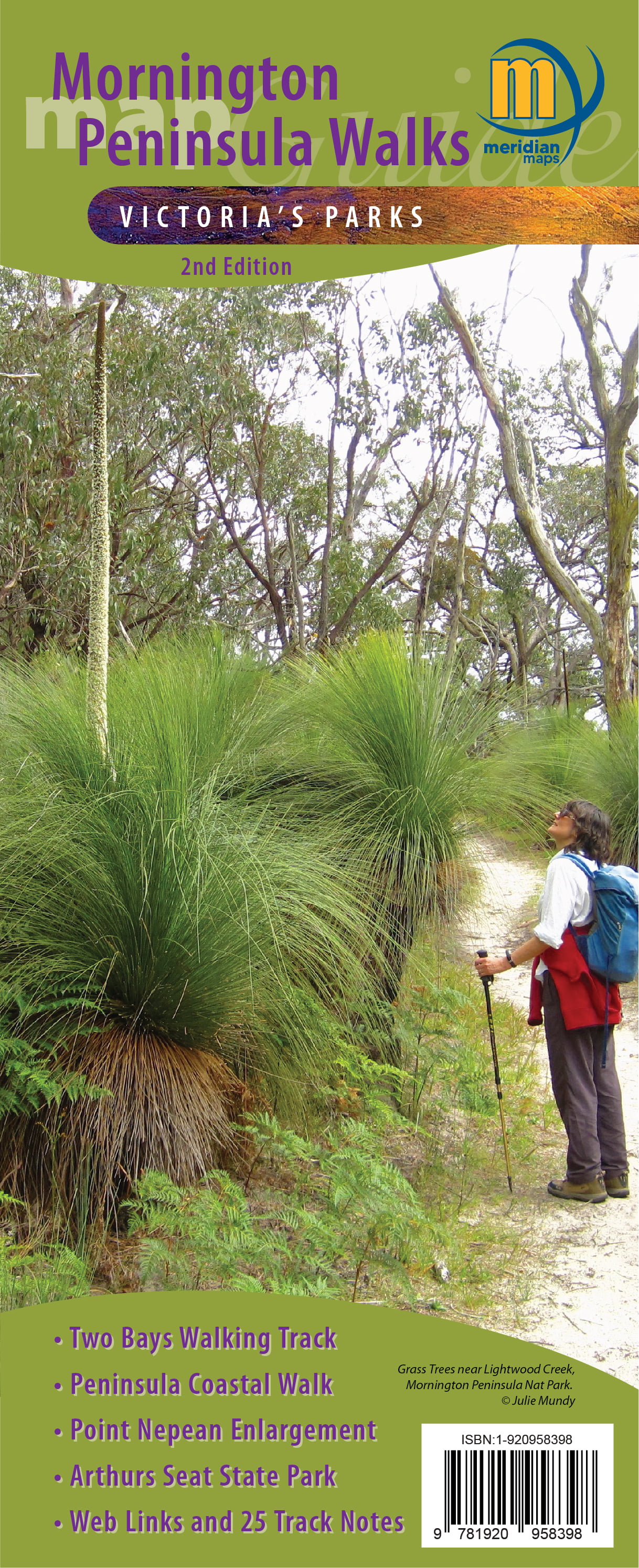
Mornington Peninsula Walks is so much more than a map: as well as being a comprehensive guide to many walks, it also offers a wealth of information to those wishing to explore this marvelous area which is easily accessible from Melbourne. Notes on flora and fauna, local history and public transport access are all provided. There is even a list of suggested reading and websites for visitors to the region. It is difficult to see what additional information could be packed into this publication.
Mornington Peninsula Walks (published Jan 2021) contains some information from the older Mornington-Arthurs Seat Map (2001), but has been so extensively updated and reworked that it is basically a new guide. It covers Point Nepean National Park, Mornington Peninsula National Park, Arthurs Seat State Park, Two Bays Walking Track and the Peninsula Coastal Walk.
Making a walk map of the Mornington Peninsula can be ‘awkward’ because a single map scale and orientation is not appropriate for all areas. Meridian has overcome this with two clever ideas: firstly, four of the six maps are printed at 1:25,000 and two at 1:20,000 (where more detail is required). Secondly, the two coastal walk maps are oriented across the page, rather than having north at the top. Clear north pointers are provided on all maps and the grid serves as a reminder to the map reader as to the map’s orientation. This enables the guide to be quite compact, whilst offering information-packed maps at a scale that is ideal for walkers.
Over two dozen walks are mapped and briefly described. Walk difficulty ratings (from easy to difficult), distances and times are provided. The times are generous, being equivalent to a walking speed of 2-3 kph, and range from one-hour family rambles to the rather more challenging 26km Two Bays Walking Track, with which many bushwalkers would be familiar. The information on the maps is comprehensive: parking and picnic areas, toilets and shelters, patrolled beaches, emergency marker locations, views and points of interest. The maps are peppered with interesting snippets of history and references to other recreational activities. A UTM grid is discretely under-laid on all maps for those wishing to use it; the 10m contour interval provides a good sense of the topography.
Printed copies of this publication can be purchased from local and online retailers and through Meridian Maps; all six maps are also available in georeferenced electronic form through the phone app Avenza. Having the electronic version of these maps and using the GPS capability of the phone means you always know exactly where you are. This is the beauty of having the maps available both as paper and on a phone app that has full navigational ability.
This publication is ideal for all types of visitors to the wonderful Mornington Peninsula – from a family that enjoys short walks during their holidays, through to serious bushwalkers who’d like to try an iconic Peninsula walk. Mornington Peninsula Walks is an invaluable resource; I have not seen any other walk publication of this area which is as detailed, easy to read or as comprehensive.
Review by Andrew Robinson
(Bushwalker, Camper, Mapping and Navigation trainer)
