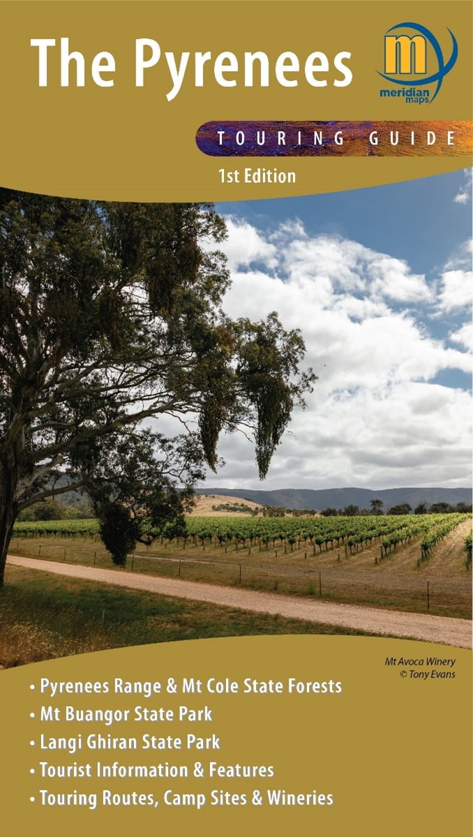
Lots of interesting, varied walks, fine wines, delicious food, comfortable accommodation, camping and picnic grounds, cycling trails, stunning vistas and tracks to explore with a 4WD or SUV: this is the beautiful Pyrenees region. Located between Ballarat and Ararat, north of the Western Highway, it’s a little too far from Melbourne for a simple day trip. As you plan post-lockdown activities, why not spend at least a few days exploring and sampling the activities the Pyrenees has to offer? The Pyrenees Touring Guide is an excellent map of the area which will suit all types of visitors.
The map, which is packed with information, is a large double-sided sheet scaled at 1:50,000. While this scale does not allow every walking track to be marked, the main ones are there and, with contours at an interval of 10 meters, there is plenty of detail for walkers. The more-detailed 1:35,000 inset of the southern part of Mount Cole and Mount Buangor areas will be of particular interest to bushwalkers.
There are a variety of walking opportunities in the Pyrenees, including short walks (1 to 3 km) to features such as waterfalls. Longer day walks include the Sugarloaf Circuit in the Mount Buangor State Park and the Langi Ghiran-Hidden Lagoon Circuit in the Langi Ghiran State Park; both of these involve some steep, rocky tracks, so would suit energetic walkers. Experienced walkers may like to try an overnight pack-carry such as the Beeripmo Walk, which winds through both the Mount Cole State Forest and the Mount Buangor State Park. There are also opportunities for longer walks in the large Pyrenees Range State Forest: the one-way Pyrenees Endurance Walk (marked on the map) runs east to west. The forest’s extensive track network is shared with trail bikes, 4WDs and other campers. Many of these walks provide panoramic views, changing vegetation, and abundant birdlife.
Printed copies of The Pyrenees Touring Guide can be purchased from local and online retailers and through Meridian Maps; both sides of the paper map are also available in georeferenced electronic form through the phone app Avenza. It is worth noting that the inset map (Mt Cole/Mt Buangor) is not georeferenced. Having the electronic version of these maps and using the GPS capability of the phone means you always know exactly where you are. This is the beauty of having the maps available both as paper and on a phone app that has full navigational ability.
This publication is ideal for all types of visitors to the wonderful Pyrenees region – from families that enjoy short walks during their holidays, to serious bushwalkers who’d like to try a more challenging overnight pack-carry. The Pyrenees Touring Guide is certainly a welcome new guide to this fascinating region.
Written by Andrew Robinson (Bushwalker, Camper, Mapping and Navigation trainer)
