Posted on

Koonung Bushwalking Club Sydney Base Camp, March 2024

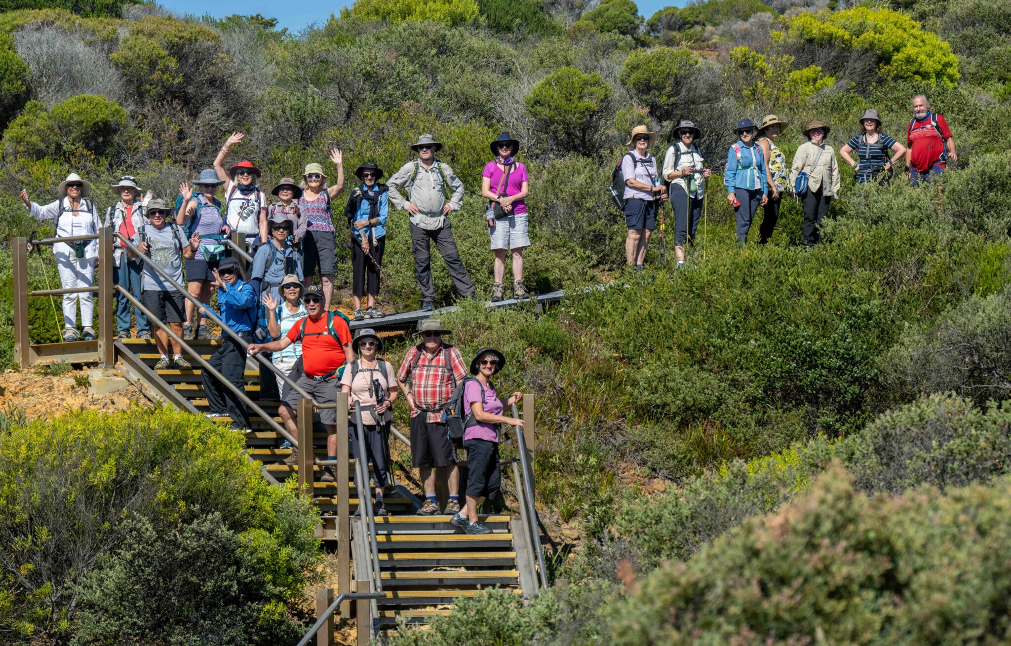
In the week leading up to Easter, members of the Koonung Bushwalking Club (KBC) enjoyed spectacular walks in Sydney and the Blue Mountains. For many years, on a bi-annual basis, KBC have conducted base camps in Sydney. This year, led by Anne Fyffe ably assisted by Wayne Fyffe, Karen Sheedy, Wilma Waters and experienced “whips”, the base camp was located at the YHA in the Rocks, a great place to stay, with stunning views of the harbour from the roof-top terrace.

All walks were carefully planned and organised to cater for the varying hiking capabilities of walkers. The weather was perfect on all days.

Use of the Opal card (Sydney’s Myki) ensured easy access via public transport to walk starting and finishing points. Walks included:

  • A lovely cliff walk following the coastline from Maroubra to LaPerouse
  • An inner harbour walk involving ferry rides enabling walkers to enjoy views of the bridge, Opera House, Kirribilli House, Milson’s Point and Luna Park with lunch in the calm and refreshing oasis of Wendy Whiteley’s Secret Garden. Travelling by foot from Barangaroo to the Rocks via a new bathing area completed this walk
  • A trip by train to the Hawkesbury River provided a relaxing option for the team. Members experienced the Hawkesbury River and History tour on the river leaving from the Brooklyn wharf
  • A group of 12 members left Circular Quay for a walk around the Opera House, Mrs Macquarie’s Point (chair), past the Finger Wharf townhouses, to Elizabeth Bay and on to Rushcutters Bay, out to McKell Park at Darling Point then to Steyne Park at Double Bay where walkers caught the ferry back to Circular Quay
  • 15 members headed to the Lower Blue Mountains to enjoy a beautiful walk from Springwood into Sassafras Gully. Lots of ups and downs, 20 creek crossings, waterfalls, and a bit of scrambling over rocks and trees. Dealing with leeches did provide some unanticipated and blood-letting experiences. Some thought they had escaped the leeches until socks were taken off that night!
  • On the final day the walk started at Watsons Bay with 20 walking to Bondi and 10 finishing up at Bronte. This walk provided lots of lovely views once again, including some on the beach!

A special time for KBC members! Particular mention goes to Dougall Bruce who on the morning of his flight home, trained out to West Concord to participate in one of the 489 nationwide ParkRuns in Bicentennial  Park, achieving third place in his age group.

Article by Ross Kimber, Anne Fyffe, Wilma Waters
Posted on

Is That Snow?

BTAC AAWT Low Saddle to Mt MacDonald 17-19 May 2024

The clearing of the AAWT from Low Saddle Road to the upper heights of Mt McDonald was high on the priority list of the Vic Parks Rangers based in Mansfield. Sixteen volunteers, including three for the first time, met at the Low Saddle campsite late on the Friday afternoon and thanks to the efforts of an enthusiastic advance party, found the site prepared and ready for occupation.

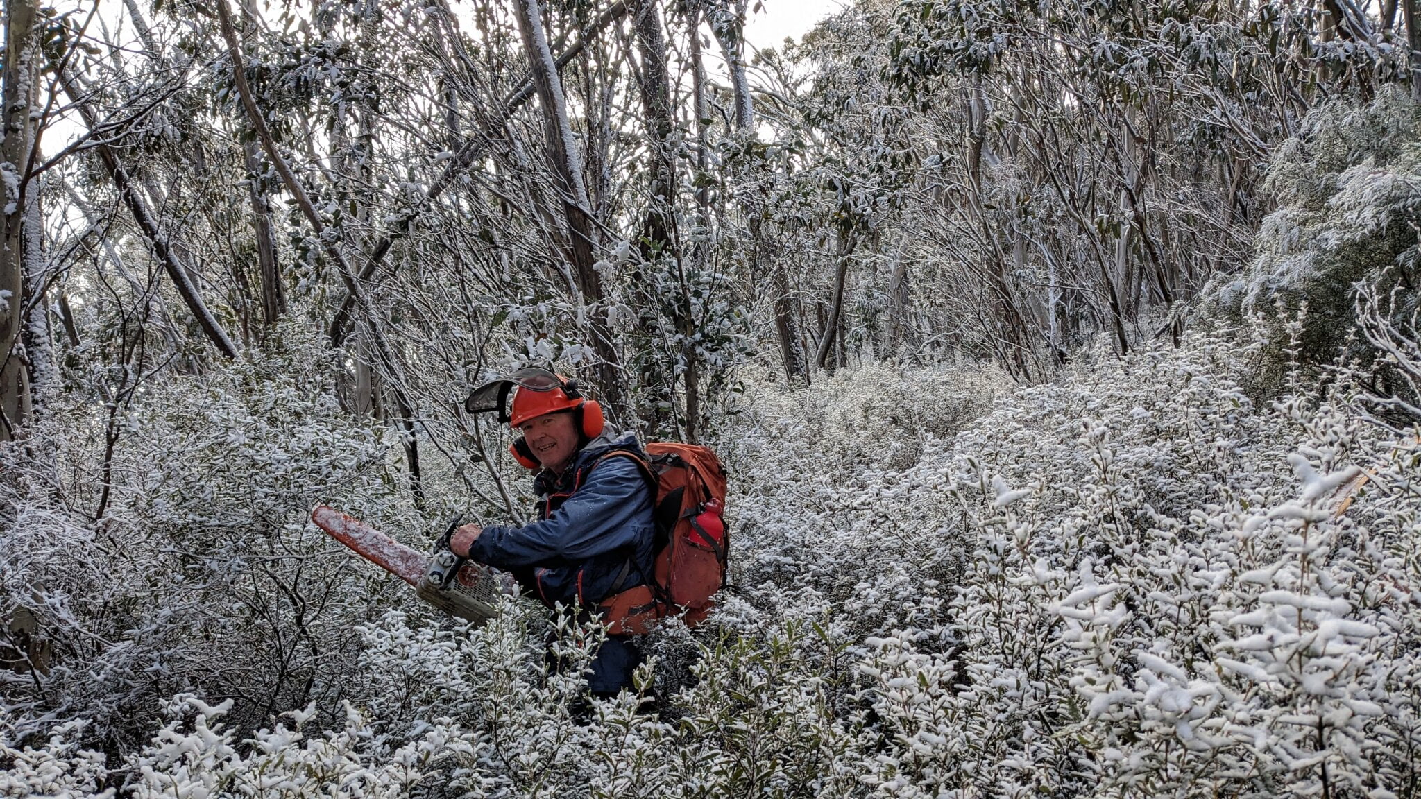
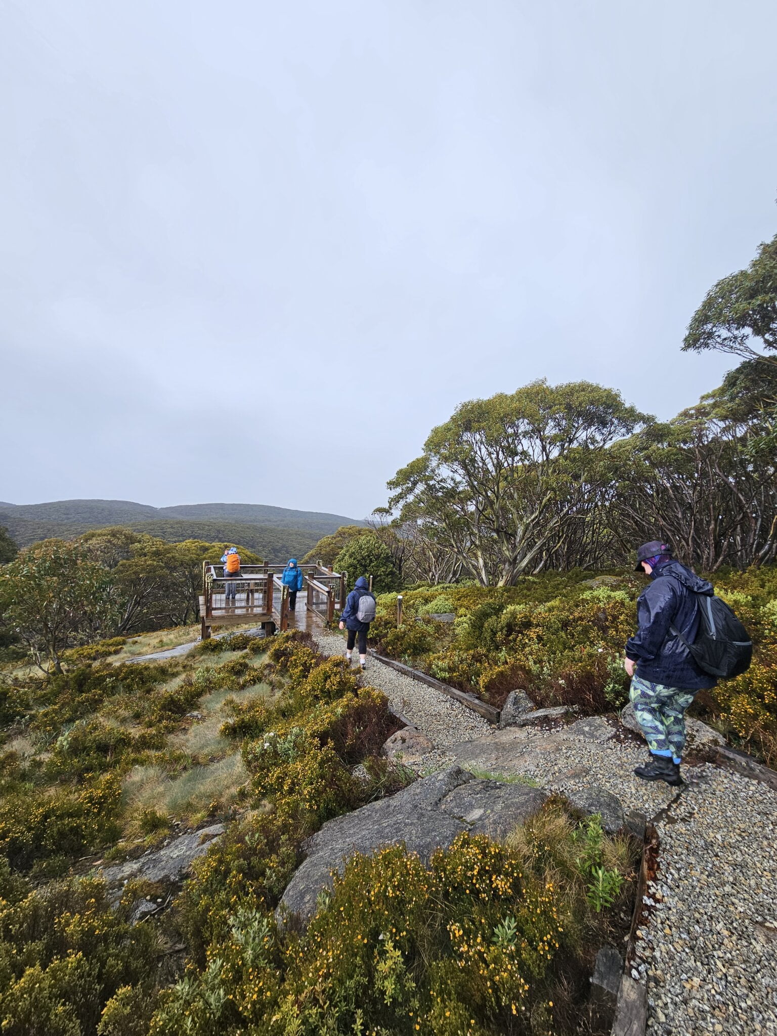
On the Saturday despite overnight rain, and the temperature just above freezing, our volunteers were all set to undertake safety inductions at 8:00am. On the way to work light snow started to fall and there was some initial concern regarding how this would hinder our work plans. Fortunately the snow shower did not last long.

Despite the bitter temperature and a lazy wind, the volunteers made very good progress, so much so that the fallen trees impacting the track alignment were all cleared along the spur on the first day. Saturday evening the volunteers participated in a BBQ cooked by Rangers Jim and Alex and the opportunity to sit around the campfire and have a long chat. It was agreed by the volunteers that Jim and Alex had set a new benchmark for BBQs.

On the Sunday, despite very low temperatures, the volunteers completed outstanding clearing by noon and after lunch returned to camp to prepare for the trip home. A total of 4.6km was cleared over an elevation ascent of 430 metres. The volunteers contributed over 250 hours of work and spent some 200 hours in travel, preparation and administration.

Overall, the event was considered excellent as the clearing objectives were met, the track alignment was improved in a number of places and three first time volunteers were successfully inducted into the BTAC team.

The high standard of leadership and participation by Rangers Jim and Alex was very much appreciated by all the volunteers.

Bob Edwards

BTAC Activity Leader

Posted on

Boobyalla Track Clearing Project

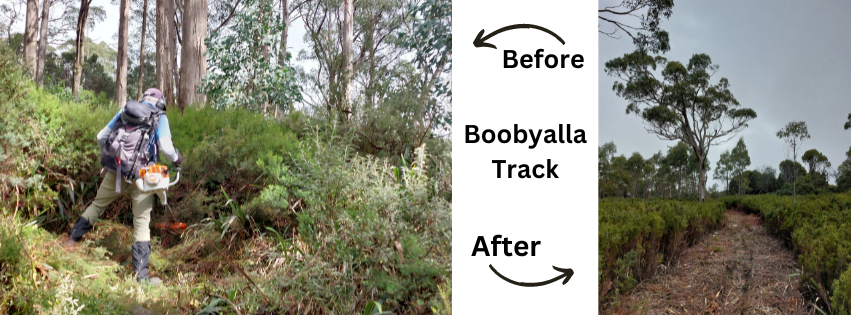
Thanks to the efforts of Kim Rosen, President of Melbourne Walking Club, we will soon have a new track to add to our walks programmes. We’ve all seen lots of tracks marked on maps, but when we try to walk them, it’s impossible because they are so overgrown. Most leaders just give up at that point and put on a different walk elsewhere. Not Kim however. She contacted ParksVic and eventually got this joint project up and running.

Volunteers from Melbourne Walking Club (the lead club for this effort), Boroondara Bushwalkers and Melbourne Women’s Walking Club have participated. 19 participants overall, gave a total of 59 volunteer working days. We usually had 3 ParksVic rangers managing the work each day.

We met the rangers at either the Mt Donna Buang car park or the Rainforest Gallery car park. They have the gate keys so we were able to drive to the start of the walking track, reducing the distance we had to carry all the heavy gear each day. The day began with a thorough safety briefing, training in the use of the brush cutters when required, collecting other gear such as loppers and rakehoes, then heading off to the target section of the track for that day. The rangers used the mini chain saws – surprisingly powerful for their size. The first 4 days we worked up hill from the Road 2 junction. It took us 4 days to clear up to the summit of Mt Boobyalla. We then began work from the other side via the reopened Acheron Way and Road 4.

Even with this number of people, we only managed to clear about 350 to 550 metres per day. We cleared about 2 metres in width. Once we got to our target section of track, the rangers and the brush cutter team head led off; chain sawing and slashing all the scrub. There is quite a range of plants; bitter pea, olearia, flax lilies, wattles, beech myrtle (which we leave) and lots of others we couldn’t identify. Following the brush cutters were the groomers. With the rakehoes – those heavy-duty tools you see fire fighters using to rake over smouldering embers – we raked up and cleared all the cut material and tossed it off to the side of the track. That exposed the remnants left behind by the brush cutters – the 5 to 10 cm of the base of the saplings that the brush cutters couldn’t always get. The final task was to use the loppers to cut as low to the ground as we could to eliminate those nasty trip hazards and those higher branches waiting to poke us in the eye. Some things we couldn’t clear. Storms dropped some quite large trees on the track which we had to detour around to continue our work. The rangers were able to call on the “firies” to cut through these obstacles.

Although this work has been mostly over summer, it has not been too hot to work as the temperature is much cooler up higher. The rangers are very safety conscious and have cut work short when the wind got too strong one day, and when the humidity was really high and we had some sort of pollen or spores in the air sending us all into coughing fits. The odd leech or two made their appearance.

The track is now clear and ready for you to walk. You would need to organise a car shuttle to make a 15 km one way walk. From Mt Donna Buang car park, you can walk down to the start of Road 2. The newly cleared Mt Boobyalla track branches off to the right after about 1.5 km. This continues up and over the top of Mt Boobyalla, for about 3.5km to join with Road 4 where you turn right again and head down Road 4 to the junction with the Acheron way.

The track needs lots of walkers to prevent it growing over again. Do it soon; it’s a great walk.

Posted on

Social media blamed for increase in bush rescues

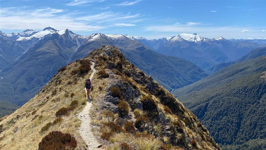
How often have you chosen to do a walk based on a beautiful Instagram reel, or an exciting TikTok?  Have you considered how fit/experienced/lucky with the weather the poster is?  Have you considered that when someone says “easy”, it might be easy for someone who has scaled Everest, or is an experienced mountaineer, not so easy for you in your shorts and tshirt, just carrying a bottle of water?

According to New Zealand media, online content is misleading tourists into attempting hikes they are ill-equipped for, leading to several rescues being mounted across the South Island.  (And its happening more and more here in Australia too!)

Read the Great Walks article here
(Image Brewster Track.  NZ Department of Conservation.)

Posted on

The Birth of Bushwalking in Victoria

As this year marks the 90th anniversary of Bushwalking Victoria (formerly known as the Federation of Victorian Walking Clubs) we’re looking back on the history of recreational walking to acknowledge the early pioneers who paved the way for the hugely popular pastime that we enjoy today.

The exploration of inland Victoria began in 1824, when Hume and Hovell blazed a trail from present-day Albury to Port Phillip.  While avoiding the snow-covered highlands, which they called the South Australian Alps, they saw a mountain that reminded them of a resting buffalo: thus a notable Victorian peak was named.

Twelve years later, Major Mitchell travelled across Western Victoria, followed by McMillan (1839), Strzelecki (1840) and Tyers (1840) who each traversed some of the remaining unknown area, utilising trails and pathways established by First Nations People. By the end of that decade, the general picture of Victoria’s topography had been laid out; from then on it fell to miners, graziers and others to fill in the details.

After migrating to Australia in the late 1840’s, the botanist Baron von Mueller embarked upon four extended expeditions around Victoria. Von Mueller was a definitive outdoorsman. During his journeys of discovery, he covered hundreds of kilometres on foot; he was first to ascend many Victorian mountains; he forded rivers and camped in untouched forests; he explored remote and scenic wilderness areas, including the alps from Mount Hotham to Mount Kosciusko. It has been suggested that, if Victorian bushwalkers were to seek a patron from history, von Mueller would be the likeliest contender.

In the mid-19th century, settlers gradually moved into the region surrounding Mt Buffalo; their enthusiastic descriptions of the mountain’s steep spurs and dense forest sparked the interest of others.  Locals began to act as guides, leading individuals and small groups to see the massive granite tors, snow gums and clearings carpeted with snow grass. Visitors to the Horn, the Hump and the Cathedral spent long days in the saddle or on foot, followed by freezing nights in camp, so a simple lodging house was built in 1881.

The Bright Alpine Club was formed in 1888 for those keen to explore the alpine region around the township; snowshoes were used for winter ascents. When the club publicised areas such as Hotham and Bogong in Melbourne newspapers, interest in mountain excursions snowballed. Trains to Bright were scheduled to meet the demand – the popularity of bushwalking blossomed!

In June 1894, a group of men met in Melbourne to form Australia’s first walking fraternity. The all-male Wallaby Club was established as “…an assembly of good fellows, fond of walking – not in the athletic sense, but as a means of reasonable outdoors enjoyment that would be conducive to health, conversation and good companionship.”

Notwithstanding the antiquated restriction on female members, we think that description pretty much stands true to this day!
The Melbourne Amateur Walking and Touring Club (now the Melbourne Walking Club and longest standing member of BWV) was formed just four months later and the rest, as they say, is history.

Source: ‘The Scroggin Eaters:  A History of Bushwalking in Victoria’, Graeme Wheeler (1991)


Posted on

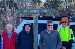
Four Johns on Johnnies Top

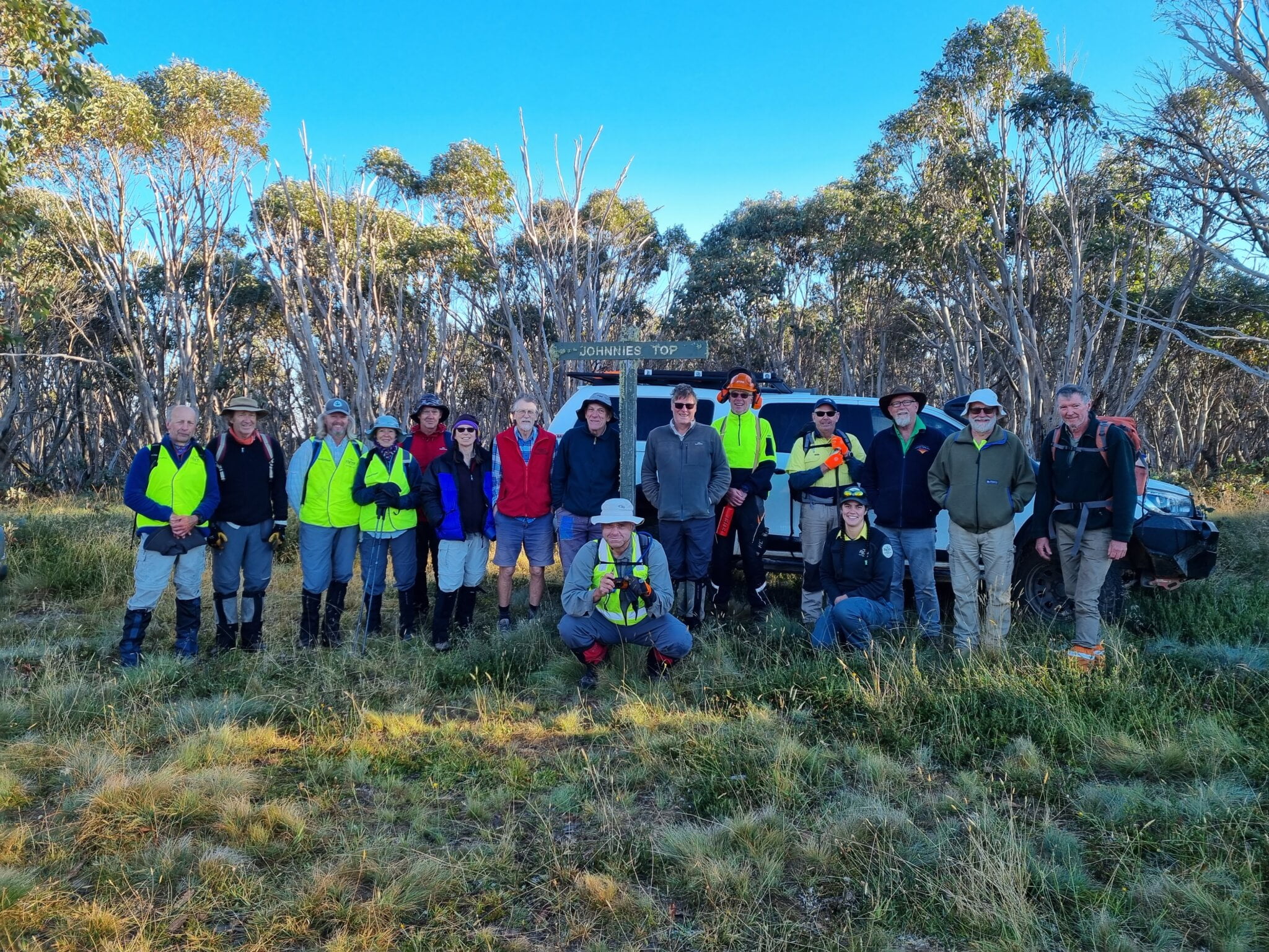
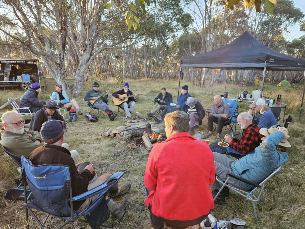
Of the 16 volunteers, who gathered at Omeo on the Friday and then preceded to the camping site on Johnnies Top on the weekend 22-15 March to clear a section of the AAWT, four were named John.

The original plan was to clear and improve the 12 kms from Johnnies Top to the Buenba Hut Site but a recce on the Thursday prior to the activity by Joe, Patrick and Parks Victoria Ranger, Ella Carr, determined that to achieve all the required works on the 6.5 km section down to Corner Creek, would be a good outcome. The recce team used two rolls of pink flagging tape to define the route for the track clearing teams. Including realigning two kilometres of track back onto the original alignment not used for many years and marking the track through thick regrowth in areas affected by the 2019/20 bushfires.

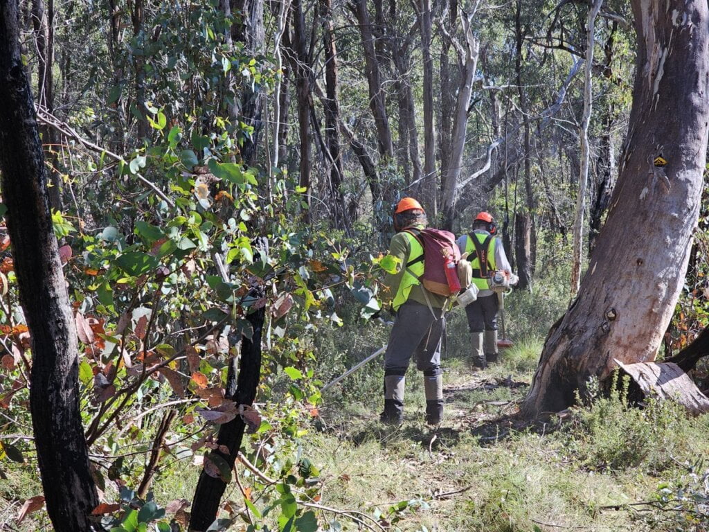
It was determined that the whole party would camp at Johnnies Top for the duration of the activity even though this meant that tools would need to be carried back up the 800 metre climb once the objective was met. The volunteers and two Parks Victoria Rangers divided into three teams; a chain saw team and two brush cutting teams. After two days of hard work including the climb back to camp all but the last few hundred metres of open ground down to Corner Creek had been cleared and new markers erected for part of the way. An AAWT walker would now find it much easier and quicker to get down off Johnnies Top.

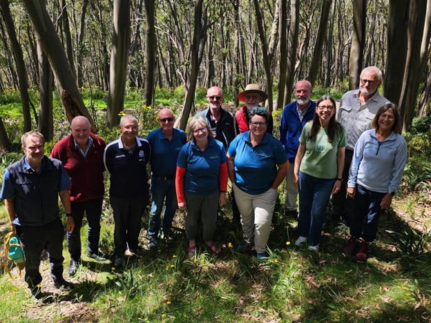
Thanks to all the volunteers that put in so much effort; 320 work hours and spent over 300 hours travelling to and from the activity. There was great camaraderie among the volunteers who came from near and far, including ACT. Thanks to Parks Victoria, especially Rangers, Ella Carr and Jo Durant who provided support in planning, logistics and helped out on the tools. Thanks to John Green and Patrick Platt  for leading work teams.

Joe van Beek

Project Leader for BTAC

Posted on

BWV Board Strategy Planning kick off at Mt Baw Baw

BWV Board members and committee conveners got together earlier this month at the beautiful Baw Baw Village to kick off the strategy planning for 2024-2028.

Travelling from all over VIctoria, participants stretched their legs after the long drive with a walk, one group heading out for the Baw Baw Summit Loop, and the other across the plateau to Mt Saint Gwinear, before settling in to review the current strategy and look forward to the coming 4 years.

Posted on

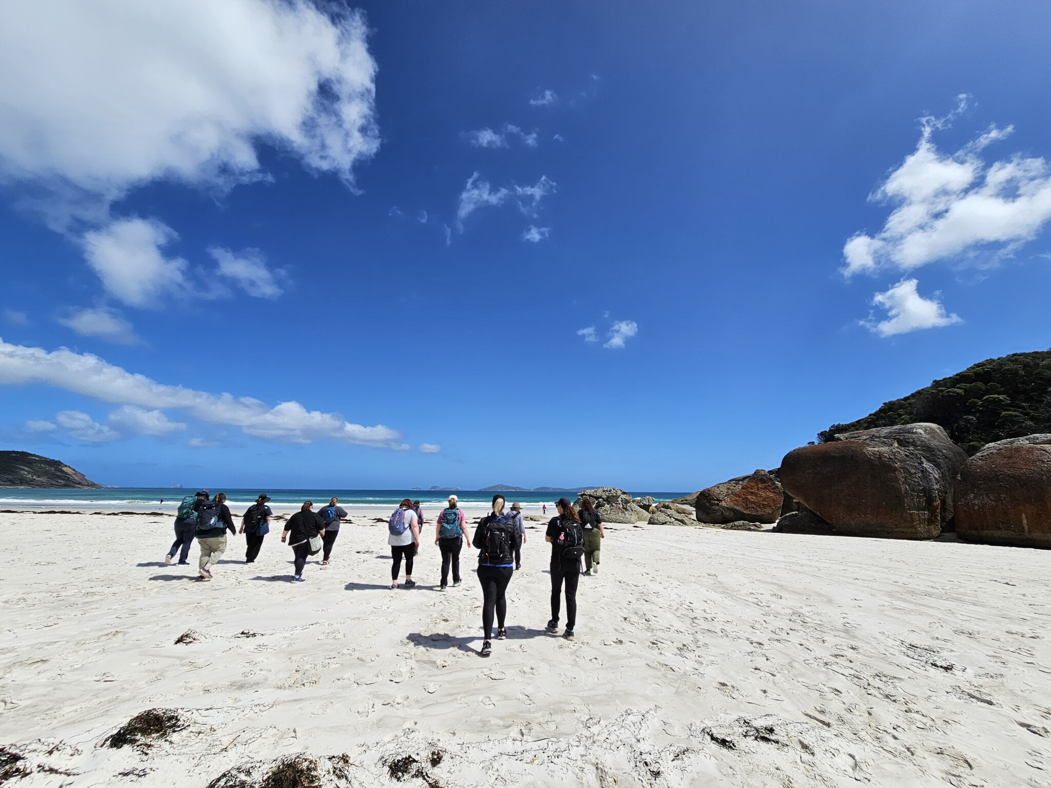
Squeaky Beach awarded best beach in Australia in 2024

According to an ABC article earlier this month Squeaky Beach, near Tidal River at Wilsons Promontory was the first ever Victorian beach to claim the title of Australia’s best beach of the year.

Squeaky Beach came up trumps after investigation of 12,000 beaches around the mainland and surrounding islands conducted by Tourism Australia.

This is very timely as we are celebrating the much anticipated 90th anniversary of bushwalking clubs in Victoria at Fed Walks 24 at Tidal River on 11-13 October 2024.

Around a three-hour drive from Melbourne this coastal beauty is a source of pride enjoyed by locals as well as being discovered by international travellers.

You will be able to experience first-hand the pristine beaches, spectacular granite mountains and cliffs and wildlife including kangaroos, emus and wombats and a stunning variety of birdlife. Wilsons  Promontory is a bushwalkers paradise.

As part of the package, we are offering 20 unique walks ranging from easy to medium to hard – available over two days – with different styes of accommodation ranging from camping to glamping plus dinner and entertainment on the Saturday evening.

Get your walking buddies planning to attend this unique weekend experience. Bookings for members open Monday 3 June 2024.  More info on the Fed Walks website.

Posted on

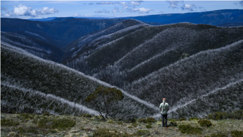
Ghost forests: Australia’s snow gums under threat from climate change

From a distance, the white flush looks almost like a line of snow, freshly settled on the mountain slopes.  But the white haze that covers these slopes is not snow, it’s dead trees. Dead snow gums, to be precise, Eucalyptus pauciflora.

Experts say snow gums have not evolved to cope with more frequent and more intense bushfires, caused by the global climate crisis.  This has resulted in the nature of Australia’s high mountain landscapes changing, and the ecological collapse of snow gum woodlands.  And the abrupt decline or change of this ecosystem is happening before our eyes.  Read More

Posted on

Survey shows many Australians are scared to go on bushwalks. Here’s how you can walk safely with confidence.

According to a survey from the team behind the AllTrails App, just one in three Australians know how to deal with getting lost, while two in three Australians entirely reconsider going on trail walks due to safety concerns.  

According to the survey, only 38% of respondents felt confident with basic first aid when hiking. Only 6% felt confident in dealing with a bite from a snake or spider and 43% of those surveyed did not feel confident in knowing what to do if they encountered a dangerous animal.

It goes on to say "Since 2017, Victoria SES and Parks Victoria have performed 30 separate search and rescue operations at Werribee Gorge state park, nearby Lerderderg state park and the Brisbane Ranges national park alone, according to Parks Victoria."

So what can you do to walk more safely, and with more confidence?

Get Informed

Check out some of the great resources we have published for getting started bushwalking, and staying safe in the bush.

First Aid

Always carry a first aid kit. Even if you are not "going far" its very good advice to have it in your pack at all times.  Check out the list of basics for a good walking first aid kit.

Obviously, being first aid trained is the best way to know how to manage first aid, but did you know there are smartphone apps that allow you to look up almost any first aid scenario, and give you step by step instructions for providing first aid?  Here's some of the best:

St John's First Aid App

Red Cross First Aid App

Learn from those with more experience

The best way to learn to walk safely is to learn from those with more experience on the trail.  There are 60 bushwalking clubs across Victoria who can help you with just that, by walking with a group with many years of knowledge.  Many clubs offer "Try Bushwalks" where you can go along to a couple of club walks, and see if the group is for you.  Sharing bushwalks with others will build your confidence, and show you some amazing locations with some great people.  Find a club here.

Check the weather and emergency warnings

We live in Victoria.  They say if you don't like the weather, wait 5 minutes and it will change.  Its not unheard of for beautiful sunny days to quickly turn into a very wet electrical storm, even flooding or a bushfire.  So it's important to be prepared for this.  The Bushwalking Victoria Walk Safely guide covers all this and more.

Don't forget to download the Bureau of Meteorology (BOM) weather app, and the Vic Emergency app (set up an alert area for your walk location), to keep up to date with weather, and emergencies in your area.

Be prepared with clothing and water

It’s easy to think it’s only a short walk, and the sun is out, I don’t need a jumper.  Always pack for the scenario where you need to sit still for multiple hours, waiting for help.  Make sure you always have a waterproof/windproof jacket and a mid layer (fleece or puffer).  It’s always a good habit to carry a space blanket, or even better, a space bag to put your whole body in to keep warm, they take up little space, and should be in your first aid kit.   Always take more water than you think you will need.

Phones in an emergency

Not all parts of our wilderness has mobile coverage, so it’s important that you have a way to contact emergency services if you need to.  Read about using mobile phones, PLB’s and satellite tracking devices in the Bushwalking Victoria Bushwalking Manual:

Using your mobile phone to contact emergency services

Personal Locator Beacons (PLB’S)

Satellite Tracking Devices with SOS (eg. Garmin inReach, Zoleo)

Tell someone your plans

It's important that you let someone trustworthy know where you are going, where you are parking, and when you expect to be home.

Research your walk

Do your research on what to expect on the trail, any closures, and read about the experiences of others - and do it using different sources, not just one review from Pete who said "its easy, my 2 year old did it in gum boots".  AllTrails and Trailhiking Australia are great resources, as are Parks Victoria, and Google reviews.

And please, PLEASE do not blindly follow the directions from Tiktok or Instagram!

Sometimes taking in so much information can feel overwhelming, but its a great investment in your own safety and confidence to be informed, and your future self with thank you when you get to that beautiful waterfall, or breathtaking ridgeline.

Stay safe, and Happy Bushwalking!

by Richelle Olsen, Executive Officer, Bushwalking Victoria

IMG_3856
20231125_123331