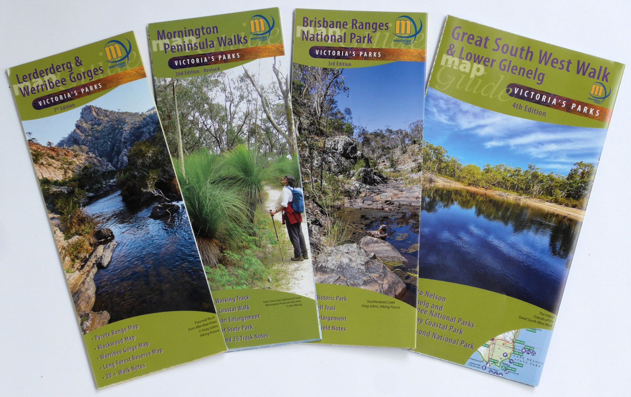
Four maps, all highly popular with Victorian bushwalkers, have recently been updated. Published by Meridian Maps, they are available through bushwalking stores and specialist map stockists – check out BWV’s Discount Partners for the new editions.
- Lerderderg and Werribee Gorges State Parks, 7th 1:35,000 & 1:20,000
Located close to Melbourne, these parks are renowned for their fascinating gorges, diverse flora and fauna, and picturesque walking trails.
-
- The new edition incorporates over 200 changes, and a completely new map of Long Forest Reserve, including the Coimadai Creek Trail, has been added.
- Mornington Peninsula Walks, 2nd edition – Revised. 1:20,000 &1:25,000
This region offers a wide range of excellent walks in the Mornington Peninsula National Park, Point Nepean NP and Arthurs Seat State Park, plus coastal and conservation reserves.
-
- The revised version contains a number of changes, particularly to the Two Bays Walking Trail and to features in the Point Nepean National Park.
- Brisbane Ranges National Park, 3rd 1:30,000 & 1:15,000
This park, with its low mountain range and rocky gullies, is a rich habitat for wildflowers and birds. It offers a fantastic variety of walks, including the 3-day Burchell Trail.
-
- Changes include new track notes and adjustments to a number of walking and 4WD tracks.
- Great South West Walk and Lower Glenelg Map, 4th 1:50,000
The ‘go to’ map for those wishing to explore the amazing diversity of the Lower Glenelg, Cobboboonee and Mount Richmond National Parks, and Discovery Bay Coastal Park.
-
- A number of details across the maps have been added or updated and additional short walks have been included.
These maps are also available in georeferenced electronic form through the phone app Avenza, which has full navigational ability. So you can always be confident of knowing exactly where you are!