Finding Maps for Bushwalking in Victoria
Whether leading a club walk or enjoying a day on the track with friends, bushwalkers need accurate maps. The popular resource Finding Maps for Bushwalking in Victoria has just been revised and updated. It provides comprehensive information on sourcing quality, up-to-date paper and digital maps – invaluable for walk planning and safe navigation out on the track.
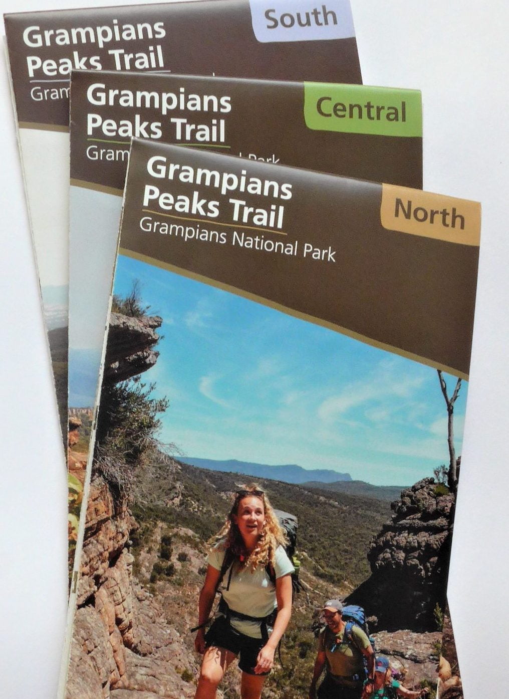
Grampians Peaks Trail Maps
After opening late last year, the 164km Grampians Peaks Trail has proved immensely popular. Walkers will find these excellent Parks Victoria maps invaluable. Each map (at a scale of 1:50:000) covers one area – Northern, Central or Southern – and includes an altitude profile, section summaries, track notes and useful information on planning, trail access, hike-in campgrounds and emergency information.
After being unavailable for several months, the maps are now back in stock at specialist map suppliers, some outdoor shops and several suppliers in the Grampians/Gariwerd region.
It’s important to note that some experienced bushwalkers report that the suggested daily walking times are appreciably understated. In addition, each day’s walk duration and distance excludes all side trips, many of which – such as the ascent of Briggs Bluff and Mt Difficult – are immensely rewarding, but can add up to 2 hours to your day.