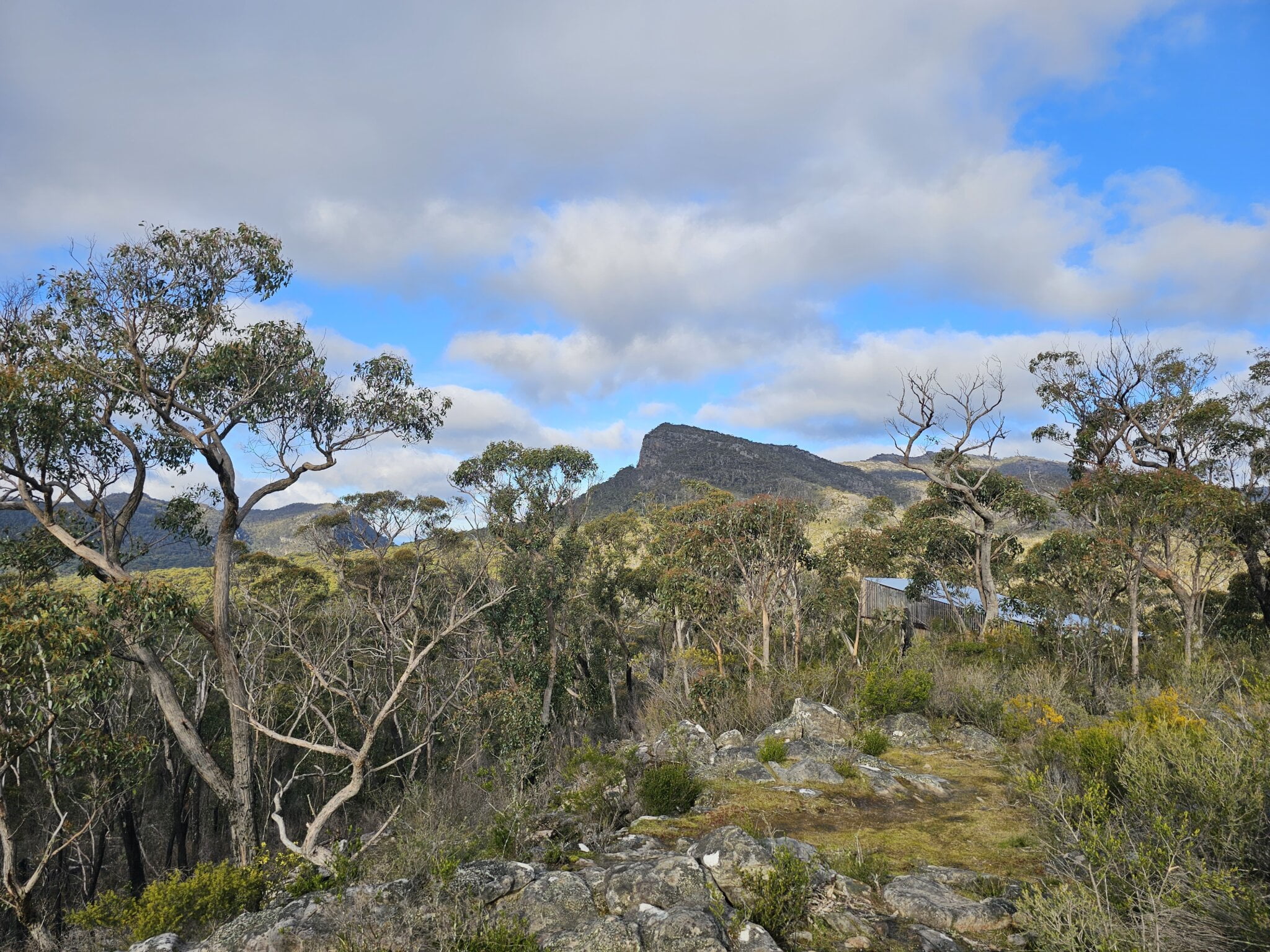
Victoria’s Gariwerd/Grampians National Park is a national treasure. With a vast track network, rugged mountains, fabulous rock formations, abundant fauna and magnificent wildflowers, this NP is on many a walker’s ‘must explore’ list. There are numerous good maps out there: your choice should be based on what you want to do. Day walks? A base camp comprising a wide variety of walks? Overnight walks? Perhaps the Grampians Peaks Trail? A few recommended maps are listed here.
For planning: a medium scaled map (about 1:100,000) which shows the entire region is an essential planning tool for an extended stay. Three suggested maps are:
- The Grampians (Gariwerd) Touring Guide.
- Publisher: Meridian Maps, 2024. Scale: 1:100,000
- This map is packed with information on roads, tracks, camping grounds, visitor facilities and tourist sites. An ideal planning map.
- The Grampians Special
- Publisher: Vicmap, 2022. Double sided. Main map scale: 1:100,000
- Enlargements of four popular areas: Wonderland, 1:10,000; Halls Gap, 1:25,000; Mount Zero – Mount Stapylton, 1:25,000; Zumsteins – MacKenzie Falls, 1:25,000
- This comprehensive collection of maps features many walking trails.
- The Grampians Touring and Road map.
- Publisher: Parks Victoria, 2021. Scale: 1:125,000
- Easy to read, but lacks the detail of the two maps above.
For walking: a larger scale map is recommended for walking. Options include:
- Grampians Peaks Trail: 3 maps, North, Central, South
- Publisher: Parks Victoria, Double sided. 2022 (Revised). Scale: 1:50,000
- Absolutely essential for those walking part or all of this iconic trail. This topographical map has the trail and campsites clearly marked. On the reverse side is detailed information on access, campgrounds and tracks.
- Northern Grampians and Southern Grampians Outdoor Recreation Guides
- Publisher: Spatial Vision, 2019. Scale: 1:50,000. Double sided
- Topographic map with detailed tracks and campsites marked.
- The back of each map provides a large amount of information on activities and walks in the area, as well as notes on flora, fauna and history.
- Topographic map sheets
- Publisher: Vicmap, various dates. Scale: 1:25,000
- Topographic maps.
- About 12 sheets are required to cover the whole national park.
All the maps listed are available on paper and many are also available in electronic form and can be used in apps like Avenza Maps.
There are also many walk books and pamphlets (not to mention websites) which contain sketch maps and track notes. Parks Vic provides a Visitor Guide and pamphlets with sketch maps and track notes (Northern Day Walks; Wonderland/Central Day Walks; Southern Day Walks – all revised 2021) which are available at information/tourist centers and map shops.
Andrew Robinson
May 2024
