Distance: 18.5 Km | Duration: 7 Hrs | Grade: Grade 4 | Rating: | Style: Circuit | Map
About the Walk
Overview
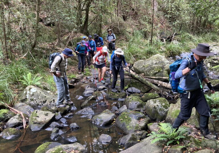
This walk follows narrow bush tracks, forest management roads, 4WD tracks and a section of gravel road. It offers amazing forest and sea views. It is a long walk with some solid climbs and a steep descent and a feeling of achievement is guaranteed at day’s end. One creek crossing makes wet boots inevitable.
The Walk in Detail
The walk starts at the Distillery Creek Picnic Ground. The track initially heads off just to the left of the toilet block. Follow it to the junction with Dam Road and turn left towards Painkalac Dam (1). Cross the creek below the dam wall. Walk parallel to the wall to a dirt road, follow it for a short distance then take the left fork which winds steadily up to Gentle Annie Track. (2). Turn right and follow the track for about 2 km. Watch for a gate on the right (3) and turn through it.
The track shortly leads to a steep descent on a deeply eroded 4WD track that can be slippery in all conditions, poles are recommended. Cross a creek and, as you exit the creek, veer right up the bank then swing to the left onto a 4WD track to join a management road. Continue on a long uphill hike taking time to look back at the lovely valley behind. Continue on until joining gravel Bambra Road where you turn left (4). Walk 1.4 km before turning onto Loves Track (5) which is followed for 2.2 km to a trig point (6); follow the right-hand track which leads to the top of Ironbark Gorge. A long gradual descent with fine views to the Split Point lighthouse and the ocean takes you gently down to cross a small bridge on Ironbark Creek (7). Continue on the track and re- cross Bambra Road. It is then a short walk to the start point.
Getting There
Drive to Airey’s Inlet. Immediately after crossing Painkalac Creek turn left onto Bambra Road and follow it for 2.8 km to the signposted Distillery Creek Picnic Area.
