Distance: 9 Km | Duration: 3 Hrs | Grade: TBA | Rating: | Style: Circuit | Map
About the Walk
Overview
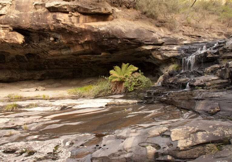
Starting from Sheoak Picnic Area, this walk winds down Sheoak Creek to Swallow Cave, and Sheoak falls, then climbs out of the valley to reach Castle Rock lookout thence return to the start point.
The Walk in Detail
Park cars at Sheoak Picnic Area. Beyond the information board, locate the signboard for Swallow Cave, Sheoak Falls, Coast. Take this track following the Sheoak Creek. Continue straight ahead at the turn off for the nature trail. At the track junction continue straight ahead to Swallow Cave and then return to the junction. Turn left towards Sheoak Falls. Cross the creek on flat stepping-stones if the water level allows and continue up steps, past the Castle Rock track sign to a viewing platform for Sheoak Falls. A better view of the falls exists a short distance further down the track.
Return up the steps and turn left at the track marked to "Castle Rock 2.5 KM (WT22)". At the next junction take the left track to Castle Rock Lookout. Descend fairly steeply down several steps to the lookout over the Cumberland River Valley and to the coast.
Return to the track junction and turn left towards the Sheoak Picnic Area. At the track Junction marked "Sheoak Picnic Area 1 km". Take the track on the right and descend fairly steeply to the Sheoak Picnic Area and the cars.
Note: the map provided shows a set of walks starting from Sheoak Picnic Ground. The Swallow Cave, Sheoak Falls and Castle Rock walk is shown as walk 16. Go to 'Related walks' for details on the other walks starting at Sheoak Picnic Area.
Getting There
From the Great Ocean Rd in Lorne turn into Otway St (Melways 518 F6), drive to the roundabout and follow signs for Allenvale and continue for 1.5km to the Sheoak Picnic Area.
Walk Precautions
If Sheoak creek is in flood, it may not be possible to cross via the stepping stones.
Additional Information
Sheoak Picnic Area 


