Distance: 13 Km | Duration: Hrs | Grade: Grade 3 | Rating: | Style: Circuit | Map
Best Season: Summer, Autumn, Spring
About the Walk
Overview
A very pleasant walk (20% 4WD track, 80% footpad) through alpine country of open plain and snowgums with, subject to the weather, good views across the High Plains. Mt Reynard is the most southerly peak in Australia above 1700m.
The Walk in Detail
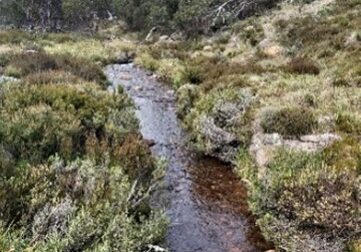
From the car park on Mt Howitt Rd, walk west then south on Kelly Lane to Kellys Hut, about 2 kilometres. After inspecting the hut, take the Mt Reynard walking track north through snow gum forest, climbing gently uphill through undulating country adjacent to Tinbucket Creek. At a low saddle at 1500m, about 2 kilometres from the hut, turn west on an indistinct track following a ridge to Mt Reynard, 1710m, another 2 kilometres. There is a small cairn marking the summit, in open snow gum vegetation. This is a good lunch spot. The return walk is back to the saddle on the same track, then turning north across an open plain with a clear view to Mt Howitt Rd to the north. There is a short, steep descent into Shaw Creek (about 1 kilometre from the saddle), cross the creek on rocks, then follow the creek in a south easterly direction to Kelly Lane, another 1 kilometre. There may be one or two more crossings of the creek before reaching Kelly Lane, and from there it is return to the cars.

