Distance: 10 Km | Duration: 4 Hrs | Grade: Grade 2 | Rating: | Style: TBA | Map
About the Walk
Overview
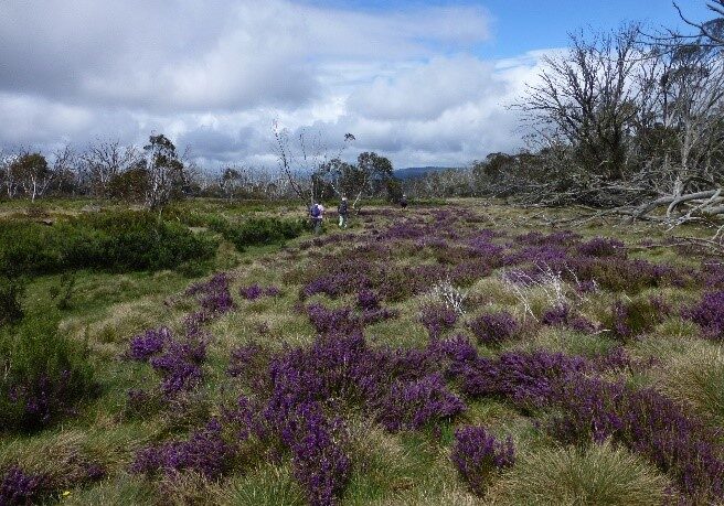
Climbing initially through an Alpine Ash forest, the walk then crosses a snow plain where wildflowers are a feature. It then descends through Snow Gum and Candlebark forest to Holmes Plain and Kellys Hut, an old cattleman’s hut currently undergoing restoration. We will compare it to the more modern McMichaels Hut then enjoy the pleasant alpine walk along Kelly Lane to the cars.
The Walk in Detail
Start walking west from Arbuckle Junction following the McMillans Walking Track red triangular markers and ascend steeply (200 metres height gain) for 30 minutes before reaching Arbuckle Plain. Carefully follow the markers and some signage south west for 500 metres before leaving the plain and heading north west gradually descending to Shaw Creek. Take care crossing the creek and head north west for 500 metres across Holmes Plain to Kellys Hut. After exploring the hut and surrounds, walk south on Kelly Lane, a 4WD track. After 1km, detour 300 metres to McMichaels Hut by Shaw Creek, a pleasant lunch stop. Back at Kelly Lane, continue south, gradually descending, with a couple of minor creek crossings, towards Thomastown. McMillans Walking Track departs Kelly Lane at the second creek crossing. There is a toilet at Thomastown.

