Distance: 14 Km | Duration: Hrs | Grade: Grade 3 | Rating: | Style: Return | Map
About the Walk
Overview
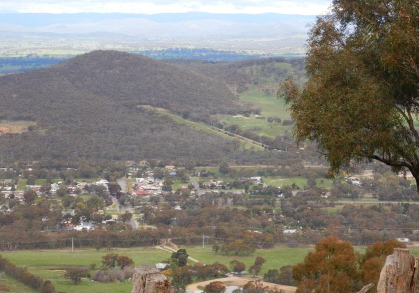
The scenic Mount Glenrowan overlooks the township of the same name and was used by bushranger Dan Morgan to track the movements of the local constabulary. Likely used before him by local Aboriginals to track the movements of early explorers and settlers along the North-South route from Sydney. There are great views from Morgan’s Lookout, particularly in wintertime, when many of the alpine peaks are clearly visible. Providing an adventurous aspect, this walk will reveal the unique vegetation and views over surrounding plains and distant hills that Warby Ovens National Park is renowned for.
The Walk in Detail
Setting off south along Ridge Track, swing to the right just before the telecommunications tower, and continue to where Casuarina Track leads off to the right. In this section there are excellent views of the Winton Wetlands to the right, as well as nice views of the floodplain.
Turning right onto Casuarina Track, the route meanders downhill, carefully follow the terrain until a sweeping right-hand bend. This is clearly shown on the VicMap 1:50 000 topographic map “Wangaratta”.
Follow a faint footpad that leads downslope (and to the west) to Moonlight Track, swing left, and follow this for several kilometres where the track starts a loose-gravelly climb to the left and meets Ridge Track.
At Ridge Track turn right and, ignoring all of the side tracks, follow the main pathway back to the second telecommunications tower. Walk around it (to the right) to get to Morgan's Lookout with views of Mount Buffalo and Glenrowan.
The return is back along Ridge Track, ignoring Casuarina Track.
Getting There
15 kms from Wangaratta. 15 minutes. Plenty of car parking on both sides of the road at the highest point of Taminick Gap Road, as it climbs up over the Warby Range.
Walk Precautions
There is an off-track descent, and an on-track ascent, with a very loose surface

