Distance: 6.5 Km | Duration: Hrs | Grade: TBA | Rating: | Style: Circuit
About the Walk
Overview
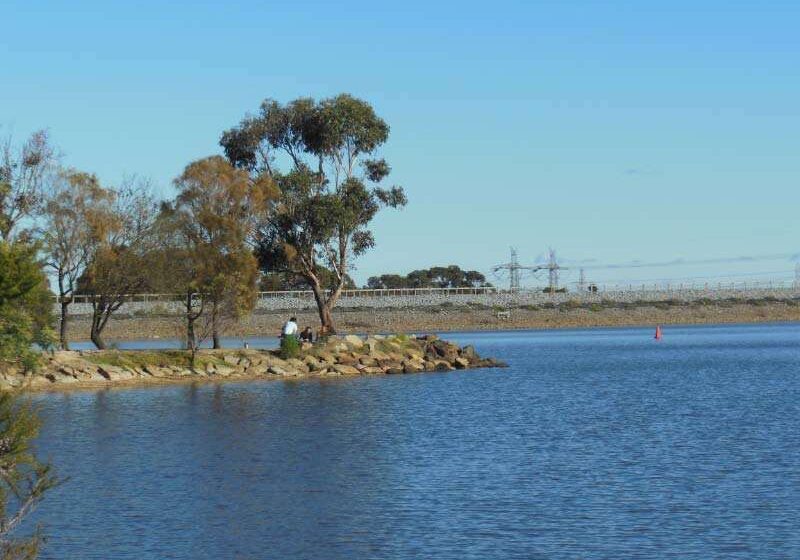
A pleasant stroll around Lysterfield Lake which is a haven for a wide variety of birds.
The Walk in Detail
Before starting this walk obtain a copy of the Park Visitor Guide which contains a good map of the walk route plus other routes you may wish to explore. See link in Further Information.
Tracks in this Park may be Shared or designated for the sole use of walkers or cyclists. Please ensure you have a map and take note of the signs at track junctions to ensure you do not inadvertantly end up on a cyclist-only track. The tracks on this walk were all well signposted in June 2013.
This walk starts near the Trailmix Cafe. Walk past the cafe towards the dam wall and cross over along the top of the wall to the other side of the Lake. There is a short steepish climb up to the Lake Circuit Track where you turn right. After a short distance ignore the track going off to the left and continue straight ahead. Soon after you have the option of turning left onto the Nature Trail which eventually turns left and rejoins the track about 1 km ahead. The nature trail has a few information signs along the way although these are badly in need to replacing. Whether you take the nature trail or continue along the Lake Circuit track (which becomes the Casuarina Track), in about 1 km you will reach a track junction where both these tracks meet the Cloverdale Track. Take the Casuarina Track (straight ahead or by turning left if you took the Nature trail) for about 1 km until you reach Lamberts Track.
Turn right onto Lamberts Track and follow this for about 200m before turning right again onto the Lake Track which heads back towards the start point following the curve of the lake for about 1.25km. The Track now curves to the left and meets Mahogeny Track coming in on your left. Ignore Mahogeny and continue straight on (or a lttle to your right). In about 250m there is a bike only track heading off on your left and in a further 250m you are at an intersection with the Logan Park Track (an equestrian trail). Stay on the Lake Track (a sharp right turn) and follow this as it takes you back towards the Lake and will bring you back towards the entrance road. From here either follow the road back to the car or take the foot track along the lake edge for about 500m and then turn left going uphill past the cafe and back to the car.
Getting There
Take the Monash Freeway south towards Narre Warren. Shortly after passing the turn off for the South Gippsland Highway, take the Belgrave-Hallam Rd exit (on your left), then turn left towards Endeavour Hills. In 800m turn right to stay on the Begrave-Hallam Road. In a further 3.3km turn left into Begrave-Hallam Road/C404. In a further 2.2 km turn left into Horswood Road. Go through 1 roundabout and the entrance to the park will be straight ahead.
On entering the Park via Horswood Road follow the road around to the left for a short distance where you will find car parking facilities on your left. From here it is downhill to toilets on your right and to the cafe a short distance away on your left.
Walk Precautions
Walk follows some trails shared with cyclists
Additional Information
Start of walk: 

