Distance: 14 Km | Duration: 5 Hrs | Grade: Grade 3 | Rating: | Style: Return | Map
Best Season: Summer, Autumn, Spring
About the Walk
Overview
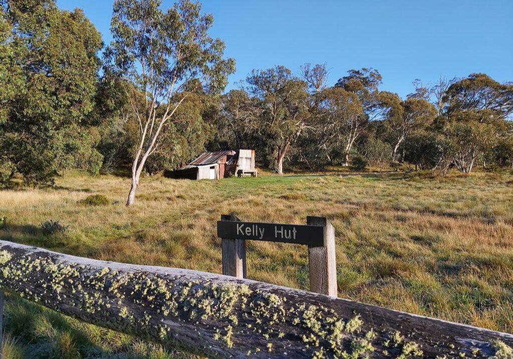
A pleasant well graded walk through mature forest and then onto open alpine plain visiting two cattlemen's huts; Kellys Hut on Holmes Plain built in 1934 and McMichaels Hut built 1970 to replace an older hut at the same site on the banks of Shaw Creek which is a delightful stream known for trout. You will be on McMillans Walking Track for 5kms.
The Walk in Detail
Start walking from Thomastown Camp Ground where there is a toilet. Cross over Shaw Creek on a sturdy bridge. Follow Kelly Lane, a 4WD track, which is a gradual climb initially through forest and then open alpine plain. There are 2 small creek crossings before reaching the turn off to McMichaels Hut which is about 300 metres off the track. Water is accessible at Shaw Creek near McMichaels Hut. Return to Kelly Lane and head North a further 1 km before reaching Kellys Hut. Lunch at the hut then return to Thomastown by following your footsteps down Kelly Lane

