Distance: 10 Km | Duration: Hrs | Grade: Grade 3 | Rating: | Style: Circuit | Map
About the Walk
Overview
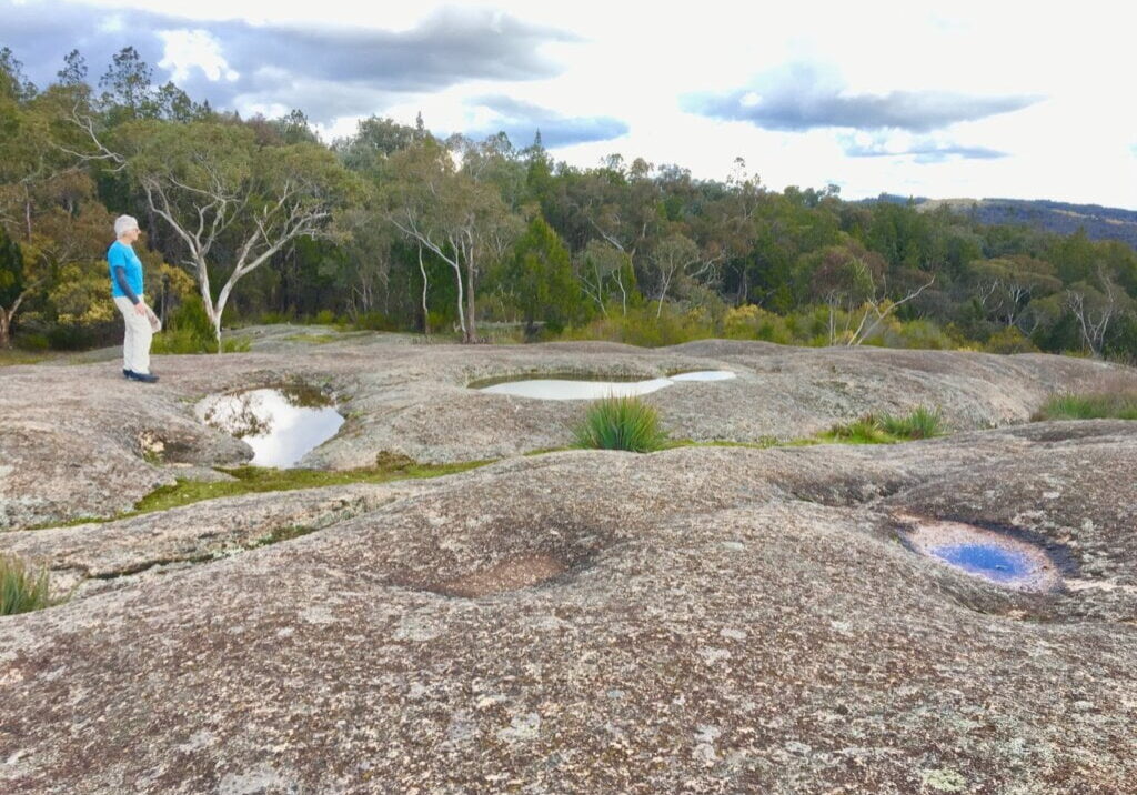
Ingrams Rock, named after James Ingram, an early settler and generous benefactor in the Beechworth area. He died in 1928, a few days short of his 100th birthday. What is special about it? Traversing mine-ravaged destruction from yesteryear, the walk has several vantage points with magnificent views!! Enjoy this unique landscape of granite and cypress, interspersed with history. After the walk, leave time to refresh yourself at one of the many historic Beechworth hospitality venues, such as Billsons Brewery.
The Walk in Detail
The walk starts adjoining the Powder Magazine on a signed track by the information board. Go over the roadway to a Y-junction, keep left, then to the next intersection, swing right onto the track to One, named during the gold mining era, but with much more vegetation nowadays. One Tree Hill has great views. Not far on, the track joins the vehicular One Tree Track. Veer left following the signage to Ingrams Rock with its excellent views of the surrounding hill country.
From Ingrams Rock, return along the route for a short distance, and take the track to Fiddes Quarry (signed). This, and several others in the area, were the source of stone for many of Beechworth’s beautiful buildings. Continuing west from the Quarry, follow the narrow footpad to The Precipice, with a small viewing platform.
Continuing west encountering Parks Victoria signage regarding the closure of Spring Creek Bridge. Heading uphill, intersect the outgoing route, keep right back to the car park.

