Distance: 9 Km | Duration: 4.5 Hrs | Grade: Grade 3 | Rating: | Style: One Way | Map
About the Walk
Overview
This is a very pretty walk that offers a number of highlights including the picturesque Cumberland River gorge, Castle Rock lookout; and Swallow Cave and Sheoak Falls. It involves a number of river crossings which are likely to lead to wet feet, and one sustained climb. It is on formed tracks but some of these are rocky and require reasonable agility.
The Walk in Detail
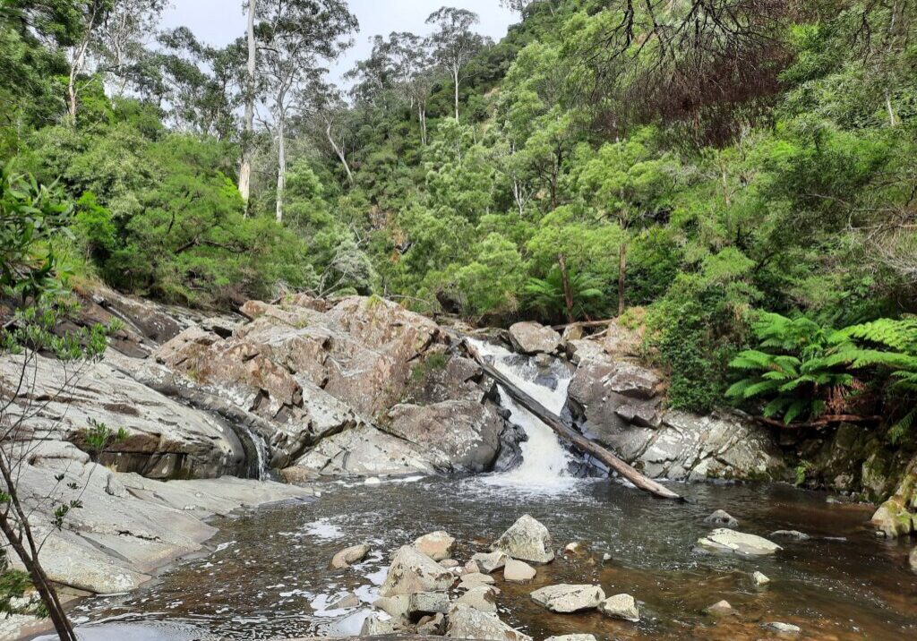
The start is on the Great Ocean Road at the mouth of the Cumberland River. The walk heads upstream on the riverside path, crossing it twice. The path here is rocky and the river crossings involve skipping from rock-to-rock which, depending on water levels, may be submerged. After about 2 km the route heads uphill on the link track to connect with Garvey Track (1). It then heads east for a short step to the junction with Sheoak Track (2). Sheoak Track is followed for nearly three kilometres until a track junction. The right fork offers an opportunity to detour to visit the Castle Rock Lookout (3) which offers views of coast, the Cumberland estuary and gorge; and Bass Strait. After enjoying Castle Rock the walk returns to Sheoak Track which is followed to Swallow Cave Falls and then onto Sheoak Falls (4) both of which are always pretty and occasionally spectacular. The walk finishes at Sheoak carpark on the Great Ocean Road.
Getting There
The start of the walk is an 8.7 km drive from the Registration Hall in Lorne. A short, less than 10 minute, car shuffle is involved.

