Distance: 10 Km | Duration: Hrs | Grade: Grade 3 | Rating: | Style: Circuit | Map
About the Walk
Overview
The Chick Hill Track was created by the Warby Bushwalking Club, Parks Vic. and Hamilton Park residents, providing magnificent views across the Ovens Valley to Mt Buffalo and Mt Bogong. The walk showcases some of the best features of the Warby Ovens National Park, including grass trees, regrowth forest and wildflowers, and appreciation of how accessible this NP is to the nearby residents of Wangaratta and Glenrowan.
The Walk in Detail
Walk 1 km along Wirrinya Avenue, a dirt road, to the Chick Hill trailhead on the corner of Taffe Lane. Walk 1.5km up the Chick Hill Track (ascent 250m) to the Ridge Track, turning right. Continue on Ridge Track for 1 km then branch right (to the east) onto Nason Track (descent 250m) to Taminick Gap Road. Continue downhill on Taminick Gap Road for 1 km turning right, south, onto Taffe Lane. Three kilometres on this 4WD track providing views of the Ovens Valley and mountains on the far side return us to the Hamilton Park BBQ area. There is no fresh water on this walk. Walking poles will be a help for the steep and gravelly descent. Hard copy map will be provided.
Getting There
(-36.429, 146.238) -- 14 kms from Wangaratta. 15 minutes on sealed roads.
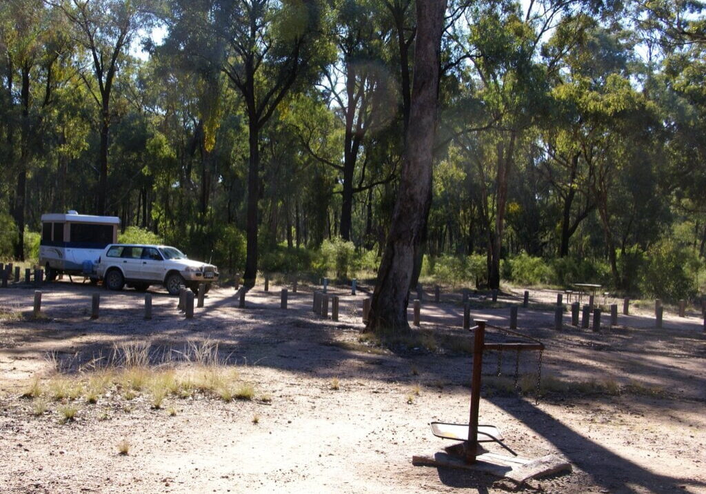
Park at the Hamilton Park BBQ area at the end of Kurrajong Lane, Glenrowan. Toilet facilities.
Walk Precautions
Bush tracks, 4WD tracks and road. Steep and gravelly descents, walking poles are advised.

