Distance: 14 Km | Duration: 6 Hrs | Grade: Grade 4 | Rating: | Style: Return | Map
Best Season: Summer, Autumn, Spring
About the Walk
Overview
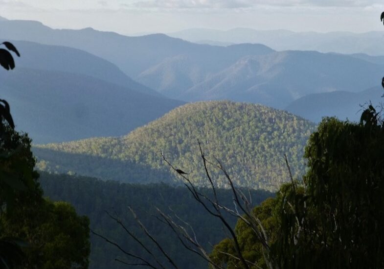
Follow a well-defined 6 km section of McMillians Walking Track with views over the Moroka River Valley and Snowy Bluff to Beths Saddle and then a relatively short, 500m climb to the top of the rarely visited Beths Peak*. Observant walkers may find exposed volcanic rock beds containing thunder eggs as the MMWT leaves the D4 track. A recent fire through a section of this walk should result in some excellent wildflowers. * Beths Peak is named after Beth Kilpatrick a BCWC member who spent considerable time in this area in the 1980s when John Smith and other club members were re-discovering McMillan’s Track.
The Walk in Detail
Start walking from the junction of the Moroka Road and the D4 track (sign posted). The track generally follows a south easterly and then north easterly direction losing 450 metres over a distance of 6 km to Beths Saddle, which is a nice spot for a break and the half-way point of the MMWT. From Beths Saddle, it is 500 metres to the summit in an easterly direction up the spur and through open country. Views from the top will look down 600 metres into the Moroka River valley and away to the east to Mt Dawson (1,443 m) and Mt Kent (1,563m). We retrace our steps to the vehicles. The majority of the walk is along a well-defined 4WD track. Hiking/walking poles, sturdy footwear and gaiters and are recommended.
Getting There
From Licola Village, head back towards Heyfield, cross the Macalister River and turn left, following Tamboritha Road for 46 km to Arbuckle Junction. The road is unsealed beyond the third bridge over the Wellington River. From Arbuckle Junction turn right on to Moroka Road and continue for 5 km until the junction of the D4 track (on the left-hand side). There is ample car parking at the junction. Distance from the Licola Wilderness Village to the start of the walk is 51 km.Walk Precautions
Additional Information
ASCENT/DESCENT: 620 / 620 metres

