Distance: 16 Km | Duration: 6 Hrs | Grade: Grade 3 | Rating: | Style: Circuit | Map
About the Walk
Overview
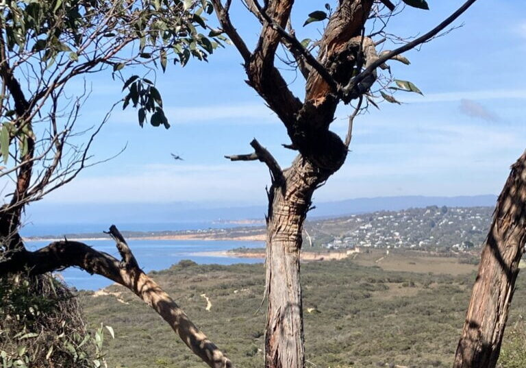
This walk across Anglesea Heath forms part of the Surf Coast Walk, a 44 km track that extends from Torquay to Aireys Inlet. This section takes in ochre-coloured cliffs, the ocean, and heathland, with spectacular coastal views both east and west from Point Addis.
The Walk in Detail
From the carpark, pick up the riverside path and head through Moonah bushland towards the river mouth. At high tide, take the dry land route across the point (1), or else follow the beach around the point to a boat ramp and safety sign 89W (2). Turn left up the boat ramp, then turn right and look for a gate to a fenced path at the edge of the caravan park; follow the Surf Coast Walk in an easterly direction for approximately 5 km – conquering a decent hill with rocky steps along the way. Then, commence your descent through coastal heath to Red Rocks and down onto the dynamic Black Rocks Beach (3), dominated by its energetic surf and persistent rips. Follow this sandy beach for 1 km, then take the walking track and steps (4) up to the boardwalk and its stunning viewing points from the sandstone cliffs of Point Addis.
Point Addis surf beach may then be accessed via a walking track off Point Addis Road and, time of day permitting, provides a scenic spot to take some refreshment (5). Return to the cars by the way you came, enjoying the different perspective provided by the now westerly route.
This walk is a great leg stretch, technically straightforward, and offers spectacular coastal scenery!
Getting There
The walk begins in Anglesea which is a 30-minute drive east from Lorne. Turn right at the roundabout after the bridge over the Anglesea River and, shortly after, right again. Bearing right, keep following the road around to the Lions Park (Skate Park) on the south (sea) side of the Great Ocean Road.
