Distance: 11 Km | Duration: Hrs | Grade: Grade 4 | Rating: | Style: Circuit
About the Walk
Overview
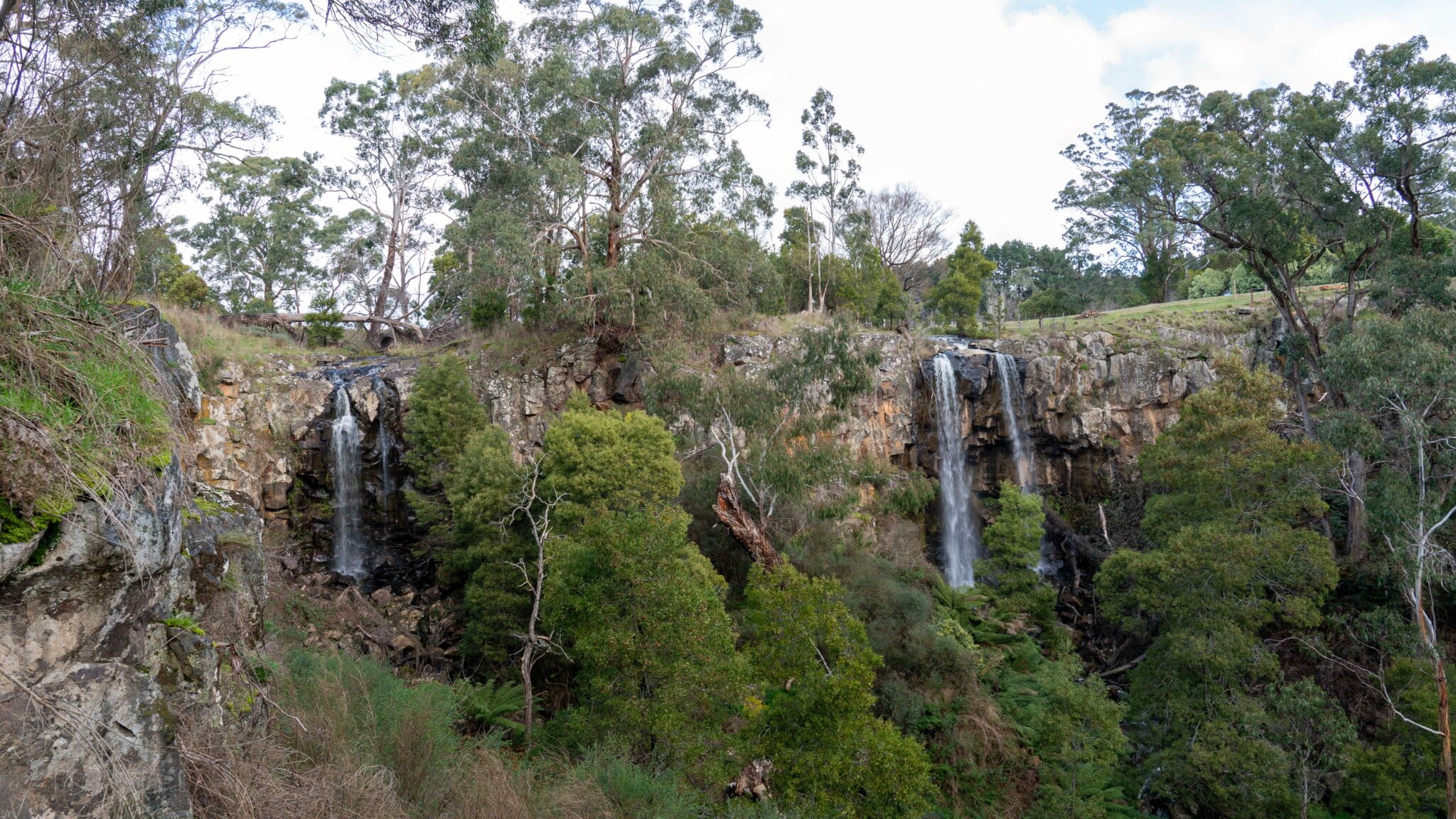
This circuit walk includes the Lower Chadwick and Razorback walking tracks, and includes Strachan Hill. The circuit meets the Lerderderg river and visits Mt Blackwood communications tower viewpoint. The walk provides good views over the Lerderderg State Park.
The Walk in Detail
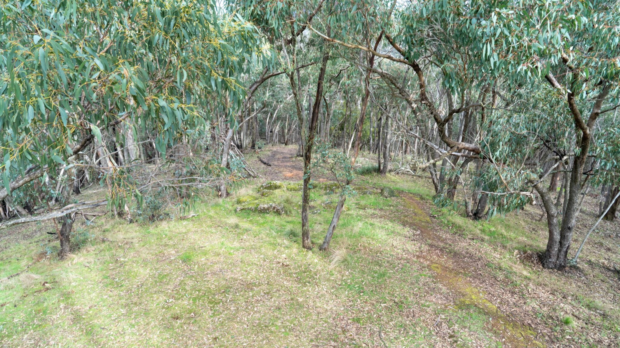
Walk N along the GDT (a grassy easement skirting the eastern slopes of Mt Blackwood) for 700mts and turn right to go through a small gateway onto Lower Chadwick Track. Continue on Lower Chadwick Track ensuring you veer left (1.5km) at the junction of this track with McKenzie Tk. Continue on Lower Chadwick for 1.2km and take a steep downhill until reaching the junction of the Razorback Track and the Lerderderg River.
Continue on the Razorback Track (steep climb) to Strachan Hill. The track changes to a management track just short of Strachan Hill. Continue on the Razorback track, past a turn-off to the Spanish Onion track on the right. Turn left where the Razorback track meets the Square Bottle track. Follow this track for a short distance before turning left onto Mount Blackwood Road (or tracks beside this road). Mount Blackwood Road contains a short section of bitumen paving, before you turn left onto Tower track (a dirt road). Head into the Mount Blackwood communications tower area for some great views stretching to Melbourne, Geelong, the You Yangs and across the Lerderderg State Park. Return back to Tower track, heading to the east (right) where the track meets the Lerderderg track. Head down this track until reaching the GDT again. At this point there will be a stile or a small fence to climb. Then head south (right) until meeting back with the cars.
Getting There
From Trentham muster point turn right onto Falls Rd, and drive 750m to the intersection of Cosmos Rd, then turn right. Drive for 13.2 kms to Blackwood, then continue along the Greendale-Trentham Road for about 5.0 kms. Turn left onto Mount Blackwood Rd and travel 7.3 km, then turn left onto Loh’s Lane. Proceed to the end where there is a carpark. Driving distance from Trentham muster Point: 28 kms
Walk Precautions
A steep ascent and descent.