Distance: 17 Km | Duration: 5 Hrs | Grade: TBA | Rating: | Style: Circuit | Map
About the Walk
Overview
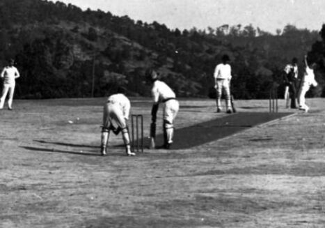
This walk offers spectacular views of township of Walhalla nestled in its small valley below and a gentle stroll across the Walhalla Cricket Ground.
The Walk in Detail
Walk through Walhalla towards the Long Tunnel Extended Mine until you see the zig zag track on the right which takes you up to the Walhalla Cricket Ground. Walk up to and across the cricket ground onto the Cricket Ground Track. Follow this to the junction of the track coming from Maiden Town. Turn left here and shortly after turn left again to go down to the Walhalla–Aberfeldy Rd. Cross the road and start down the Britannia Spur Track, crossing Britannia Creek and then up to Mormon Town Track. Turn left and follow Mormon Town Track past Sun Hill and Black Diamond Hill. Keep to the main track until you reach the junction of the Australian Alps Walking Track. Turn left onto the Australian Alps Walking Track and follow it back to Walhalla.
Getting There
From Moe, 130 km East of Melbourne on the Princes Highway, drive to Rawson 36.2 km amd 41minutes from Moe. Take the Moe-Walhalla Road C466, turn right onto Knotts Siding Road C481.
From Rawson, take a short drive from Rawson to Walhalla of about 12 kms.

