Distance: 16 Km | Duration: 4.5 Hrs | Grade: TBA | Rating: | Style: Circuit | Map
Best Season: Autumn, Winter, Spring
About the Walk
Overview
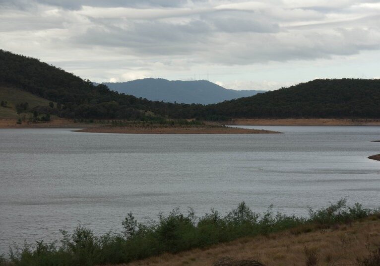
A pleasant circuit around the reservoir, with views across the water, and from the high point, views of the city. Kangaroo sightings.
The Walk in Detail
From Saddle Dam Picnic Area and car park, we cross the Reservoir wall and continue on well formed 'Ironbark Ridge' walking track to Ridge Picnic Area. The track as such does not continue any further, but the way is clearly marked with orange markers.
At most times the water is within view as you walk through open bushland and more heavily timbered areas. Pass Eagle Point and a long gradual climb to the highest point, providing views of the city and Yarra Valley.
Then follow the lower slopes of Mt Graham and 'Chris Phillips' walking track, back to the car park.
Getting There
Where do we start?: Saddle Dam Car Park, Sugarloaf Reservoir.
Melways: 273 E 7
How do we get to the start?: From central Melbourne go via Doncaster, Eltham, Reservoir, Kangaroo Ground and Watsons Creek. Continue on Eltham - Yarra Glen Road to Simpson Road Melway Map 273 A 7 (this is the entrance to Sugarloaf). Saddle Dam Car Park is the 3rd (and final) car park on the right.
Walk Precautions
There is no shelter on this walk
Additional Information


![]()
