Distance: Km | Duration: Hrs | Grade: Grade 2 | Rating: | Style: TBA | Map
About the Walk
Overview
Easy walking on good surfaces with minor inclines. Bush tracks, 4WD tracks and road. Steep and gravelly descents. An easy day with lots of time to walk, and talk, and gawk. Lots of photo opportunities and a great tour of some of the Warby Range National Park highlights. Eight kilometres of short walks with many breaks on the way. A few minor ups and downs, but they average out perfectly.
The Walk in Detail
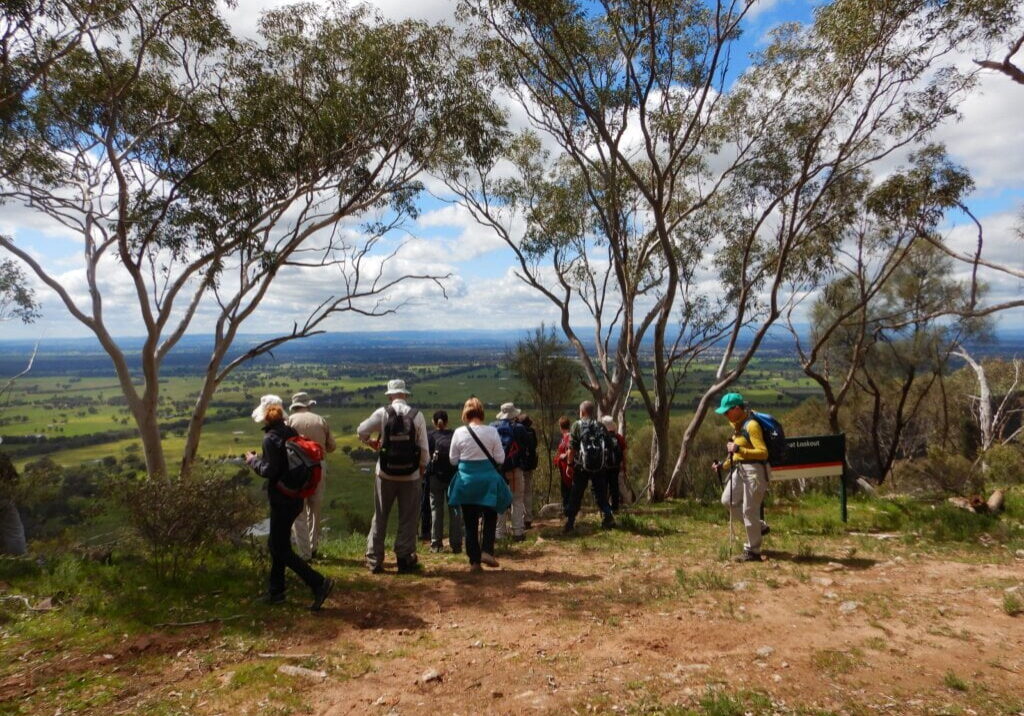
9.01 Pangerang Lookout (4.5km)
Follow a 4.5km loop along a management vehicle track, passing through forest with ancient grass trees and spur-winged wattles (endemic to Warby Ranges) to enjoy panoramic views to the west over farmland and floodplain. The formed track has a gentle slope becoming moderately steep towards the end.
9.02 Pine gully Nature Trail (2km)
Back along the Wangandary Road to the Pine Gully turn-off on the right. A 2 kilometre loop track along an ephemeral granite creek with interpretive signs, an array of native pines and orchids. Most of the walk is easy, but there are some steep and rocky sections and it can be slippery. Pine gully Falls is particularly attractive after sufficient rain, and will undoubtedly have some lovely wildflowers. Picnic area and toilets.
9.03 Ryans Lookout (0km)
Continuing towards Wangaratta, Ryans Lookout (on the left)is a sharp knoll that allows a grand view to the east, including Wangaratta and the Ovens River floodplain, as well as Mount McLeod, Mount Pilot and Mount Bogong on a clear day. Toilets.
9.04 Briens Gorge/Waterfall (1km)
Closer to Wangaratta, take the sign-posted turn-off at Jubilee Road, to the right, turning left onto Grandview Road, then to Brien’s Gorge and Waterfall (signposted). A short walk to this waterfall, tumbling over an old granite escarpment. The only stand of sandlewood in Victoria is here.
9.05 Salisbury Falls/Cascade (1km)
Driving towards Wangaratta, turn right onto Warby Range Road, then after 4km right onto Shanley Street, and 1.5km to Salisbury Falls carpark. An easy 1km walk to the base of the falls, which cascade down the escarpment in a series of drops. (The track can take you up onto the Warby Range to join the Friends Track to Wenhams Camp -but not an option we are taking on this occasion).
Getting There
From Wangaratta, head north down the Yarrawonga Road (C374) and turn left into Wangandary Road just out of town. About 20kms to the start of the walk to Pangarang Lookout (signposted) at the junction of Ridge Road and Ferris Road, (GPS -36.286, 146.160).

