Distance: 9 Km | Duration: 3 Hrs | Grade: TBA | Rating: | Style: Circuit
About the Walk
Overview
Visit Maroondah Reservoir and take a short very pleasant figure-of-eight route, mainly along dirt roads through open forest.
The Walk in Detail
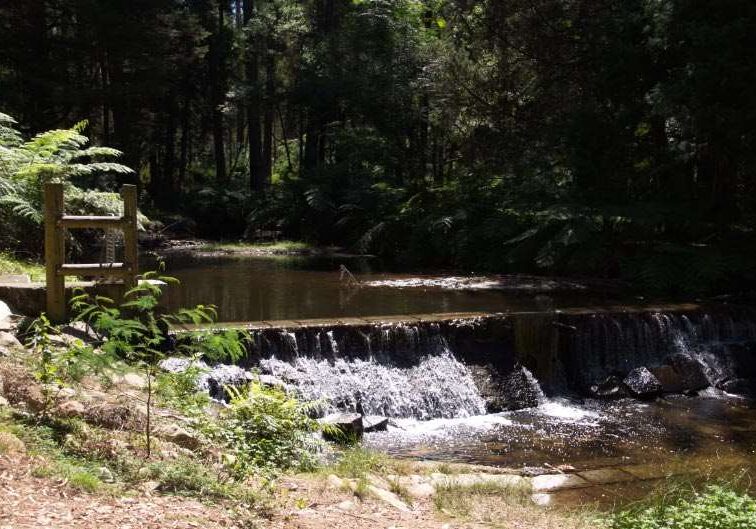
From the car-park, climb the rose bush lined steps to the top of the Reservoir wall, cross it and do a short climb to look over the Reservoir near the outlet tower. Then drop down to the service road heading west for a kilometre to the junction of the Mount Monda Track. Here you take the disused Maroondah Aqueduct, and follow it for nearly a kilometre to the Donnelly Weir Road. A few hundred metres to the north is the Weir and the picnic shelter and toilet. A good spot for lunch.
After a leisurely lunch head south down the Weir Road, cross a shallow ford on Donnelly's Creek, pass by some hobby farms on the west side and the scrub lined creek on the east. 500m from the ford turn left on to Track 17, travelling north east through open forest to the Monda Junction. A short distance along the return track a path heads south west over Henderson Hill, then south east down to the picnic area adjacent to the car park at the foot of the Reservoir.
Getting There
Melway maps: 270 K11 to G5
Where do we start? Maroondah Reservoir Main Car Park below Rangers' Office.
Walk Precautions
Good shoes or walking boots recommended as there is some large loose road metal on track.
Additional Information
Maroondah Reservoir 


Donnelly's Weir 


