Distance: 11 Km | Duration: 3.5 Hrs | Grade: Grade 3 | Rating: | Style: Circuit | Map
About the Walk
Overview
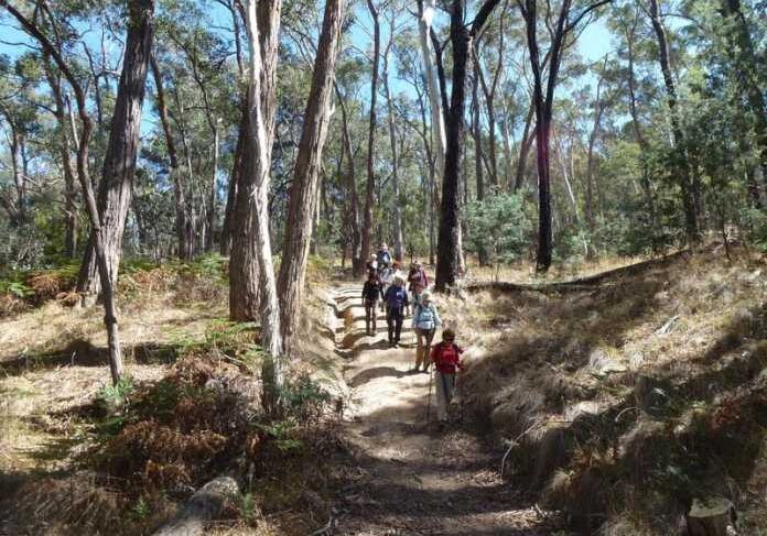
The walk starts at the Hepburn Primary School and visits the Hepburn Springs Mineral Reserve. Sections of the walk follow the Dry Diggings Track, which is a leg of the Great Dividing Trail (GDT). The walk is through open stringybark and box forest. Many parts of the track are rocky and narrow with short steep hills. Excellent views are provided from Jacksons Lookout. Hunts Dam is visited, which was built in the 1860s. There are some mineral springs to sample the waters at the end of the walk at Hepburn Mineral Springs Reserve.
The Walk in Detail
From base (Hepburn Primary school) walk east along the footpath of Main Road and turn left (north) at the T junction. Follow the road as it becomes Forest Avenue, turn right into the care aprk of Hepburn Springs Reserve and wal to the end of the car park where there is track and a sign to Jackson Lookout. This is 1.25km form the start of the walk. Follow the track east and then north in a long stead climmb on a narrow track until it reaches Jacksons Lookout (Grid Reference (GR) 472671). There are excellent views from the tower. Cross Back Hepburn Road and continue ahead on the track for a short distance to a junctions with the sign-posted GDT and Dry Diggings Track. Turn right (east) and continue on up Womans Gully a short distance where the GDT leaves the creek and follows a vehicle track north up the hill to the ridge top. Continue on the track until it intersects with Mannng Road at GR 475683. Turn right (north-east) and wal along Manning Road for 150m to where the sign-posted GDT track re-enters the forest on the left. Follow the track for 400m to an intersecting vehicle track and leave the GDT her and trun right (south-east) to follow the vehicle track. Continue 500m until you reach Hunts Dam (GR 482684). Walk across the overgrown dam wall to a track and turn right and follow it for 200m to where a vehicle track crosses.
Turn left and walk 40m to Manning Road. Turn left (south-east) and folllow Manning Road for 500m to Back Hepburn Road. Cross and continue south-east on a vehicle track for almost 1km until you reach the Midland Highway at GR 483678 and take the intersecting track south-west. (Do not cross the highway.) After approximately 1km turn left on an indistinct vehicle track (a short green post maks the track). The track descends steeply to Wildcat Creek and Argyle Spring hand pump (GR478664). Continue for 1km from Argyle Spring pump to a track junction. Take the left track fro 400m to Wyuna Spring. It is then only 100m to the car park in Hepburn Springs Reserve. Return back the base following the same route as earlier.
Getting There
Walk Precautions
Many of the tracks are single file, rocky and rough. The could be slippery in wet weather. Boots are recommended. Care must be taken when crossing the Back Hepburn Road and Main Road as there are no defined pedestrian crossings.
