Distance: 14 Km | Duration: 5 Hrs | Grade: Grade 2 | Rating: | Style: Circuit | Map
About the Walk
Overview
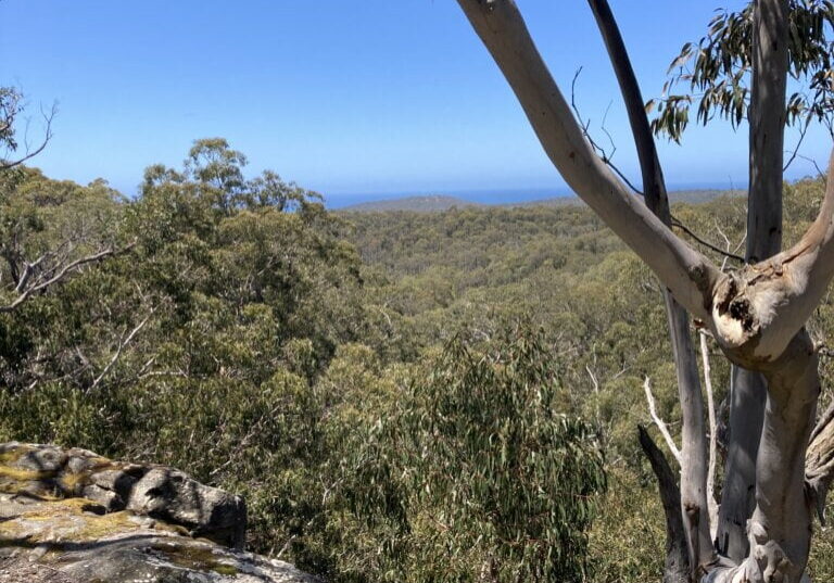
The is a relatively gentle walk that leads through a variety of vegetation types including attractive open forest, heathland, fern gullies and a melaleuca swamp. It should provide an opportunity to see native orchids and wildflowers. Highlights include Currawong Falls (which may have no water flowing, but is a pleasant ferny area) and viewpoints offering views of the bush and Aireys Inlet.
The Walk in Detail
Starting at the Distillery Creek Picnic Ground cross the Bambra Road and take the signposted track to Ironbark Gorge. Follow the track along one side of the gorge to the bridge, across the bridge and back along the other side of the gorge. The track then comes to a junction with the track to Currawong Falls (1). Turn left and follow the Currawong Falls track climbing to a viewpoint overlooking Ironbark Gorge (2). The track then leaves the gorge behind and climbs gently inland passing a seat with good views over Aireys Inlet and on to a trig point at the junction with Loves Track (3). Cross Loves Track and follow the sign to Currawong Falls. The track passes the falls, continues on to pass through Tree Fern Gully and passes Melaleuca Swamp on the left and then proceeds to a track junction (4). Ignore the track coming in on the left and follow the sign to Distillery Creek Picnic Ground. The track crosses Loves Track (5) and continues on to the intersection with the Nature Trail. Take the track on the left and follow back to the Picnic Ground.
Getting There
The start of the walk is a 30 minute drive east from Lorne. After crossing the bridge over Painkalac Creek turn left onto Bambra Rd and follow the signposts to the Distillery Creek Picnic Ground.
