Distance: 13 Km | Duration: 5 Hrs | Grade: Grade 4 | Rating: | Style: Return
Best Season: Summer, Autumn, Spring
About the Walk
Overview
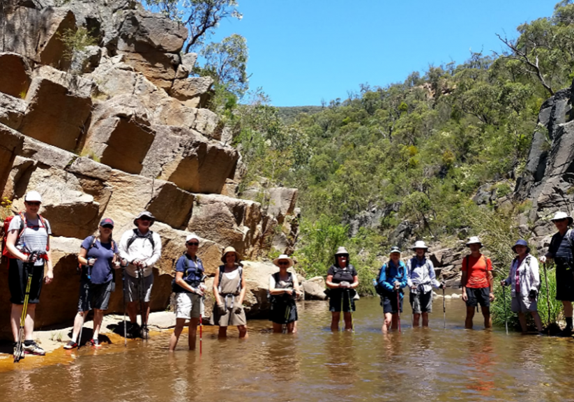
This is a walk for those who like wet feet and special places. Largely unknown and mostly bypassed by the hundreds of people walking to or from Lake Tali Karng, it is a delightful walk through the red-rocked gorge and the crystal-clear waters of the Wellington River. Water dragons are a common sight. This is not a long walk and there are no hard climbs but the 14 river crossings on the Wellington River Track and many crossings and sections of downstream wading in the gorge itself mean that you will spend a lot of time in the water.
The Walk in Detail
This walk follows the Wellington River through a spectacular, rocky gorge known as Crolls Gorge (named after bushman and poet Robert Henderson Croll 1869-1947). We start at the Lake Tali Karng car park just before the sealed road ends. From the car park we join the start of the foot track leading to Lake Tali Karng (traditional name meaning 'Little Lake'). Moving up stream, this follows the right bank of the river to a ford, then re-crosses the river repeatedly every few hundred metres. After the seventh crossing, the track leaves the river and, after a short distance, climbs to Shaws Gap (502m). Shortly after, we leave the track and descend through open scrub along a gully to the river. From there the route is downstream through the gorge, following whichever bank offers the easiest passage or wading down the stream when necessary. After about 3.5 km the route re-joins the Wellington River Track, which we follow out, reversing the inward route across the seven river crossings. Hopefully you have dry socks and shoes in the car. You need good balance. Consider trail shoes or runners, which are lighter when full of water, or old boots. The route along the bank has short rock scrambles and scrubby sections without a defined track. For these reasons the walk has been graded ‘hard’. Walk duration and degree of physical difficulty will be highly dependent on the river level. Walking poles may be handy. A waterproof liner for your pack is advised. Generally, the water is not much more than knee deep, however, some rock scrambling may be required if you want to avoid the couple of deeper sections (no more than waist deep).
