Distance: 8.5 Km | Duration: 2.5 Hrs | Grade: Grade 2 | Rating: | Style: Circuit | Map
About the Walk
Overview
The walk takes the Tipperary Walking Track from Central Springs at the picturesque Lake Daylesford to Tipperary Springs. Lake Daylesford is a man-made lake that covers the site of the Wombat Flat Diggings where gold was first officially reported in 1851. The narrow undulating track basically follows the contours of the steep Sailors Creek valley through foothill forest. There are several mineral springs you visit en-route to sample the waters. The walk continues back to Central Springs followed by a circuit of the Lake and back to the start of the walk.
The Walk in Detail
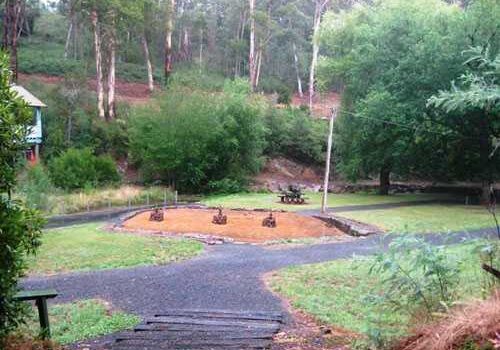
Start the walk at Central Springs, (Grid Reference (GR) 462625), near the car park, and head in a north westerly direction along the Tipperary Walking Track. This track follows alongside Wombat Creek and after walking about 500m along a wide sealed path you arrive at Sutton Spring (GR 459626). Continue past the spring on the path, which becomes a single file unsealed bush track, for nearly a kilometre until it meets the Midland Highway. Cross the highway with care and proceed to the Twin Bridges picnic area at the junction of Wombat Creek with Sailors Creek (GR 454628). Cross over the stepping stones and continue along left hand (west) side of the creek in a northerly direction. After 500m, at an unmarked track junction, keep left and do not go down the spur and cross the creek. Follow the track along the hillside to the Tipperary Springs picnic area (GR 449638). This is a good place for break in the walk. Cross over the footbridge and walk a short way up the sealed road and turn right onto the track that is indicated by a sign. Follow this track, on the left hand side of the creek, for a further 2.3km back to the Twin Bridges picnic area. Cross back over the highway and return along the track to Central Springs. Continue on past the springs until the track arrives at Lake Daylesford. Turn left and complete a clockwise circuit of the lake returning to the start of the walk via the weir, at the south end of the lake, and the car par near the Boathouse Cafe.
Getting There
From the Base, (Hepburn Primary School), turn right on to Man Road. follow this road, in an Easterly direction, until it turns right, i.e. south, and becomes C138. Continue on Main Road to Daylesford for about 4km to the second roundabout, near the Information Centre, in Daylesford. Turn right into Central Springs Road and follow this road for about 1 km to Fulcher Street. Turn left and continue down to the car park near Central Springs.
Walk Precautions
The track from Sutton Spring to Tipperary Springs is single file and rough with occasional steps. The tracks could be slippery in wet weather. Care must be taken when crossing the Midland Highway at Twin Bridges as there is no bridge, tunnel or defined pedestrian crossing. The tracks between Sutton Spring and Central Springs and around Lake Daylesford are sealed or gravel. Boots are recommended if wet weather is forecast.
Additional Information
There are toilets and picnic tables at Tipperary Springs, picnic tables at Central Springs and toilets at the Lake Daylesford car park.

