Distance: 14 Km | Duration: 5 Hrs | Grade: Grade 3 | Rating: | Style: Return | Map
About the Walk
Overview
This walk accesses beautiful beaches, coastal stringy and ironbark forests, a historic mining site and a Koori Cultural Walk. It offers excellent views from and of spectacular cliffs.
The Walk in Detail
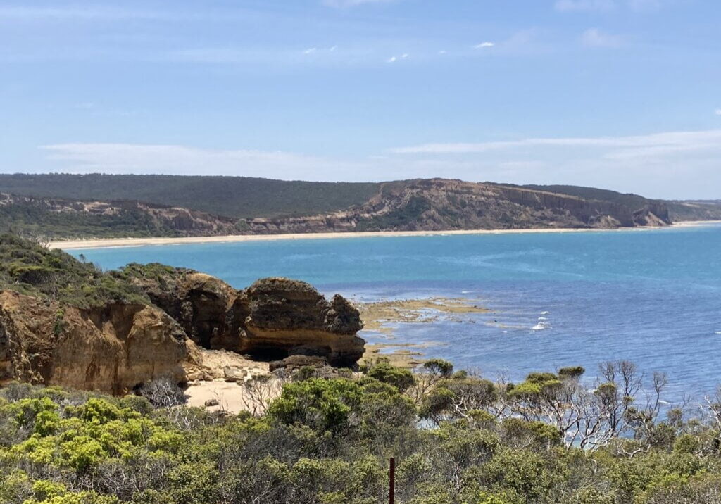
The walk starts with a careful rock-hop around Rincon Point (1) following which it passes along the nudist beach at Southside - which should not cause any problems with fairly low temperatures expected in late October. The walk continues along the beach under the vertical cliffs of Jarosite Headland - keeping close to the water’s edge as rock falls are frequent (2). After more careful rock-hopping, just before reaching Point Addis, there is a chance to inspect Pixie Cave which is situated below the point (3). A short climb up steps from the beach leads to the Point Addis viewing platform offering great views along the coast in both directions.
The path then climbs through a tiger snake breeding ground to the top of the ridge and the Koori Cultural Walk (4) along which there are several information boards and some viewing platforms that give a great view of the cliffs and the beach. The track is fairly rough and rocky in places and poles may be helpful. At the top of the ridge the route turns east along an easy walking track before reaching the Old Jarosite Mine Site, where remnants of the operations still remain (5). It then continues back towards Bell’s perhaps providing an opportunity to see hang gliders take off and land from their launching site at the Southside Cliffs (6). After this it is a short walk back to the start.
Getting There
Bell’s Beach is signposted off the Great Ocean Road between Anglesea and Torquay about an hour east of Lorne. The walk starts at the bottom carpark.

