Distance: 8 Km | Duration: 5 Hrs | Grade: Grade 3 | Rating: | Style: Return | Map
Best Season: Summer, Autumn, Spring
About the Walk
Overview
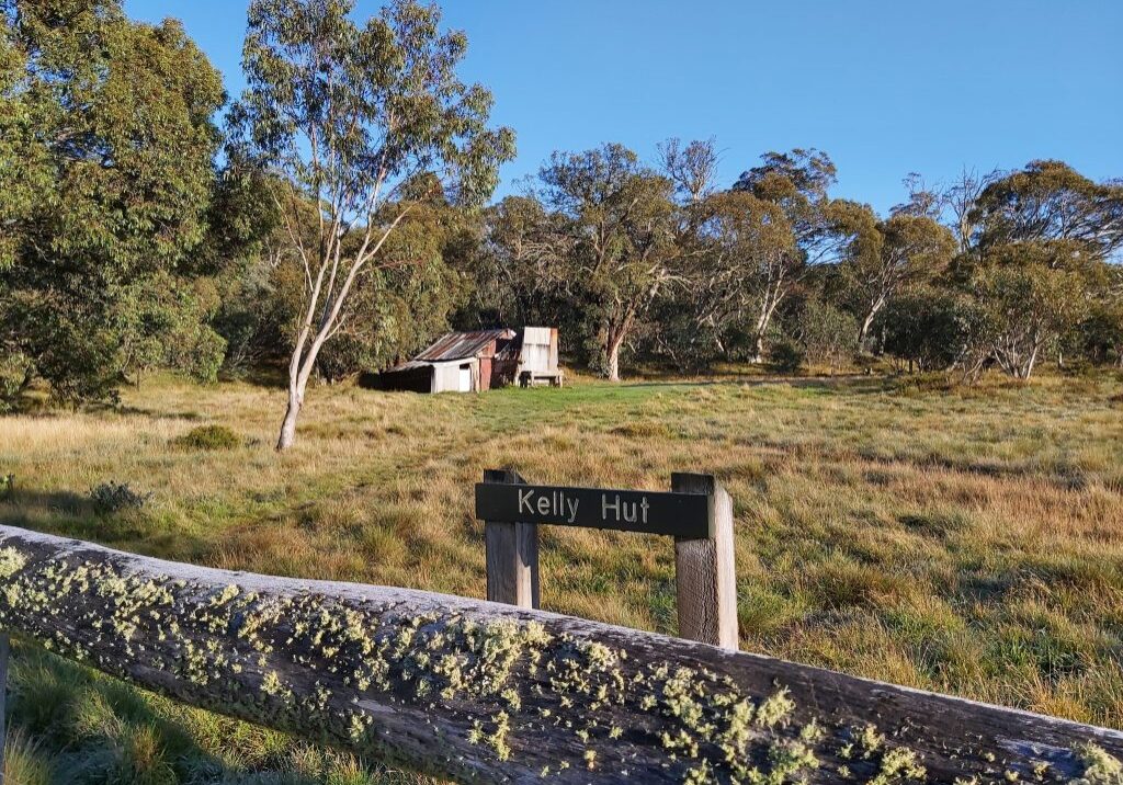
Climbing initially through an Alpine Ash forest, the walk then crosses a snow plain where wildflowers are a feature. It then descends through Snow Gum and Candlebark forest to Holmes Plain and Kellys Hut, an old cattleman’s hut built in 1934. The walk follows McMillans Walking Track.
The Walk in Detail
Start walking west from Arbuckle Junction following the McMillans Walking Track red triangular markers and climbing approximately 200 metres in 30 minutes before reaching Arbuckle Plain. Carefully follow the markers and some signage south west for 500 metres before leaving the plain and heading north west gradually descending to Shaw Creek. Carefully cross the creek and head north west for 500 metres across Holmes Plain to Kellys Hut. The hut makes a good lunch site. Return along the same route to Arbuckle Junction.
