Distance: 12 Km | Duration: 4.4 Hrs | Grade: Grade 3 | Rating: | Style: Circuit | Map
About the Walk
Overview
This is a lovely gentle circuit walk sampling both the heathlands around Anglesea and the rugged coastline. The walk is mostly on good tracks but there is a small amount of beach walking on soft sand and rocks.
The Walk in Detail
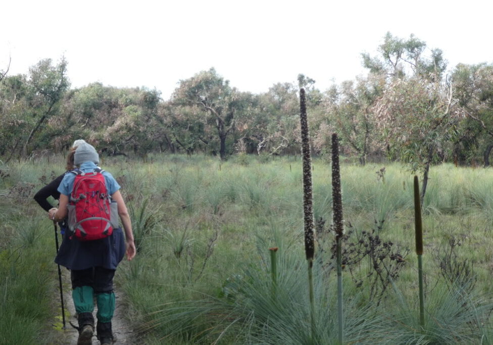
From the Visitor’s Centre follow the river upstream, crossing the GOR near the bridge and then following River Reserve Rd which leads to Coogarah Park. Near the pirate ship in the park, climb west through vegetation to a road and then head through the gate opposite. Follow the Anglesea Perimeter Walk markers through heathland towards a view out towards the old open cut mine (1). Join Messmate Track which climbs gently to Mt Ingoldsby. Continue past the summit to hit Harvey St (2). About 200 m east down Harvey St turn into O’Donohue Reserve (3) and follow the track as it heads east and then descends south to the GOR. During spring this area is a delight with wildflowers and orchids. It is also popular with kangaroos which enjoy grazing on the nearby golf course.
Cross the GOR and walk along the beach before ascending the cliffs at Pt Roadnight (4) and follow the coast back towards Anglesea with lovely ocean views along the way (5). The track goes through a re-vegetation area featuring many indigenous plants before descending to Anglesea and the start point.
Getting There
The walk starts at the Anglesea Visitors Centre which is on the river side of the Great Ocean Road (GOR) as you enter Anglesea from the Lorne direction.
Walk Precautions
Additional Information
Toilets and water can be accessed on the latter half of the walk.

