Distance: 19 Km | Duration: 7 Hrs | Grade: Grade 4 | Rating: | Style: One Way | Map
About the Walk
Overview
This varied walk comprises many of the attributes that make the Otways special.
The Walk in Detail
It starts with a set of steps up to a short boardwalk, providing beautiful coastal views before the track turns inland along Sheoak Creek. After taking a short side-track to view Sheoak Falls (1), return to the main [Sheoak] track and commence the rather steep ascent towards the top of a spur, also providing views of the coast. After approximately 2 km, take the side trip to Castle Rock (2) and descend to enjoy the view of Cumberland River mouth and Bass Strait. Return to the main track and continue to follow the ridge crest through light forest until the junction with a track on the right (3) leading to Sheoak Picnic area; descend quite steeply through open forest to the picnic area (4).
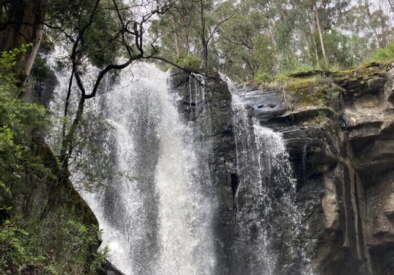
Turn right onto Allenvale Road and then left onto Sharps Road, shortly picking up the track to Won Wondah Falls on the right (5). After a short side trip along a ferny gully to view Henderson Falls (6), rejoin the main track and continue through drier forest to the sheer walls and tree ferns of the rocky Canyon: a short rocky uphill scramble sees you out of the Canyon to join Henderson Track (7) along to Phantom Falls and St George River. Depending on the flow of water across the causeway and down the river, it may be possible to take the 2 km side-trip up to view Allen Dam (8).
Continue back along the main walking track downhill and down river, around a small orchard, crossing both the river and then Allenvale Road to Allenvale Mill site (9). St George River is traced through lush rainforest almost to its mouth and is crossed, via bridges, several times along the way. Depending on conditions, a steep, rocky track [just after the last bridge crossing] (10) may be taken up to Teddy’s Lookout. Descend thereafter via the management track, diverting around the southern edge of the caravan park down to the GOR. Or, if the Teddy Lookout track is slippery, continue for a short distance to the easier Tramway Track and follow this to meet the Great Ocean Rd in Lorne. Cross the Great Ocean Road with great care.
A scenic walk along the Lorne foreshore back to the Registration Hall brings an end to the day!
Getting There
The start of the walk is a 6 km drive [by minibus] south-west from Lorne along the Great Ocean Road.

