Distance: 10 Km | Duration: 4 Hrs | Grade: TBA | Rating: | Style: Return | Map
About the Walk
Overview
A true Alpine walk from the Mt St Gwinear car park to Mt St Gwinear and Mt St Phillack
The Walk in Detail
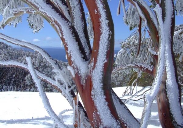
This walk is a true alpine walk as you traverse through beautiful alpine vegetation including snow gums and other eucalyptus.
Starting at the car park follow the main ski trail up to the summit of Mt St Gwinear at 1514 meters where good views of the alpine country to the east and the valley to the south can be had. Continue on to the junction with the Australian Alps Walking Track at the Rock Shelter. Turn right here towards Mt St Phillack summit (rock slabs and a stone cairn). At 1565 meters the weather can change very quickly so appropriate equipment should be carried at all times.
The walk back to the cars gives great opportunity's to take in the views and vegetation.
This walk is in an alpine environment above the snow line. The weather can change very quickly so the appropriate equipment must be carried at all times. Always carry plenty of water.
Getting There
From Moe, 130 km East of Melbourne on the Princes Highway, drive to Rawson 36.2 km amd 41minutes from Moe. Take the Moe-Walhalla Road C466, turn right onto Knotts Siding Road C481.
From Rawson, travel approximately 18 km up the Thomson Valley Rd to the Mt St Gwinear Road (on your left) and another 5 km through delightful forested country to reach the car park.
Walk Precautions
This walk is in an alpine environment above the snow line. The weather can change very quickly so the appropriate equipment must be carried at all times. Always carry plenty of water.
