Distance: 13 Km | Duration: 5 Hrs | Grade: TBA | Rating: | Style: Circuit | Map
About the Walk
Overview
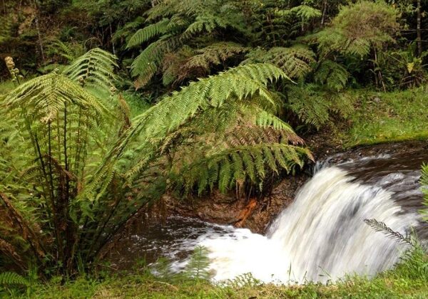
This walk is through mixed forest and involves a small off track section and one river crossing.
The Walk in Detail
This walk is through mixed forest and involves a small off track section and one river crossing.
The walk commences at The Narrows on the Thomson Valley Road north of Erica. Leave the cars and walk up a spur to the weir, which, as the name suggests serves the nearby township of Erica. This part of the walk takes about an hour. From here, head off track through thick bush with a lot of decaying timber and tree ferns. This short section of 300 meters takes approximately 50 minutes. On the way you will be able to stop and wonder at a massive gum tree. Continue off track until reaching the Australian Alps Walking Track. Turning left onto the Australian Alps Walking Track, head downhill through a lovely forest to the site of O'Shea's Mill. This a good lunch spot. The section from arriving on the Australian Alps Walking Track to O'Shea's Mill takes 1.5 hours.
After lunch continue on the Australian Alps Walking Track to the Thomson Valley Road and then walk on the track which runs parallel with the road and back to the cars. It is suggested that walkers wear gaiters and have clean dry socks and a towel at the cars.
Getting There
From Moe, 130 km East of Melbourne on the Princes Highway, drive to Rawson 36.2 km amd 41minutes from Moe. Take the Moe-Walhalla Road C466, turn right onto Knotts Siding Road C481.
From Rawson, travel up the Thomson Valley Road to the Narrows - about 6 km fromRawson.
