Distance: 18 Km | Duration: 7 Hrs | Grade: Grade 4 | Rating: | Style: One Way | Map
About the Walk
Overview
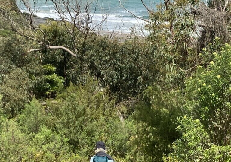
This is a long walk that follows little-used vehicle tracks and a well-used gravel road. It passes through some beautiful forest with occasional views of the ocean and coast. Koalas are common on this walk and a variety of wildflowers bloom in spring.
The Walk in Detail
The walk follows Jamieson Track from the car park on the Great Ocean Road, through a bush camping ground and climbing steadily to the junction with Godfrey Track to the left (1). Continue on Jamieson Track which now passes through regrowth following the 2016 fires which, while well advanced, still allows for good views to the ocean.
Continue along the track until the signposted junction with Wye River Road (2). Turn right onto Wye River Road and continue to ascend for about 3 km to the boom gate at the junction with Curtis Track (3). Turn right and follow Curtis Track north for about 1 km where there is another boom gate at the junction with Cumberland Track (4).
Turn right into Cumberland Track, which is well defined and offers occasional coastal views. It starts as an undulating ridgetop walk, then descends through relatively open forest that is quite beautiful in places. Occasional short, sharp descents follow that can be slippery after rain. The track then descends steeply through tall eucalypts, over the knoll of Mount Defiance ending at the boom gate just to the west of the camping ground office at Cumberland River
Getting There
The start of the walk is at Jamieson Creek, which is 4 km further along the Great Ocean Road towards Apollo Bay from Cumberland River. There is an additional 10-minute car shuffle from Cumberland River back to Jamieson Creek at the end of the walk.
