Distance: 7 Km | Duration: 4 Hrs | Grade: TBA | Rating: | Style: Circuit | Map
About the Walk
Overview
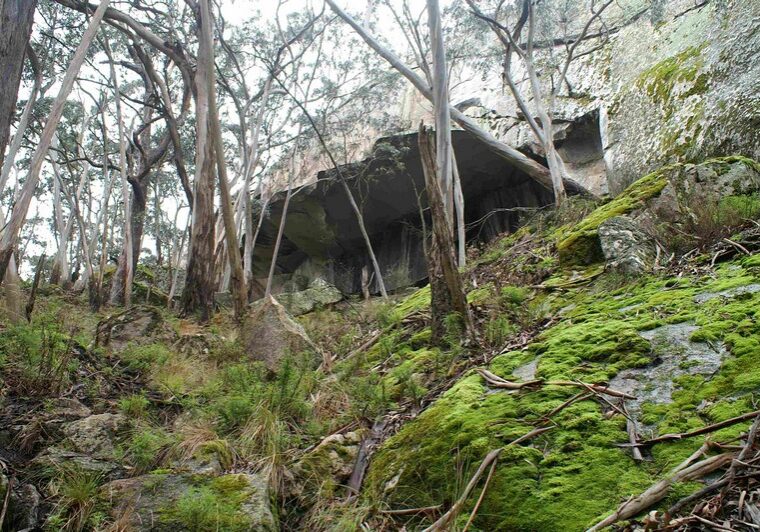
An interesting walk through a variety of vegetation, Cave Hill overhang and rock crossing.
The Walk in Detail
The walk begins opposite the shelter and soon crosses Middle Creek Road and Ferntree Waterfalls Road. Keep on the track as it climbs and turn left at a junction on the side of the hill. You will soon be at the Cave overhang, a good spot for a rest before scrambling over the rocks and continuing on the track west until you reach a large rock face which has a chain to help you cross.
Continue on the foot track to a T intersection. Turn left and then left again after crossing Middle Creek, passing through some stinging nettles. Then cross Ferntree Waterfalls road and take a rest at Baillies picnic area on your right. The rest of the track is very easy all the way back down to Middle Creek.
Getting There
Take the Western Highway to Beaufort. Travel west through Beaufort for 11.8 km and turn right onto Ferntree Gully Road. Follow this for 7.5 km, ignoring any side roads, until you enter the Mt Buangor State Park. The first turn left will take you to Middle Creek camping ground.Walk Precautions
Some rock scrambling, some slippery steep paths, a patch of stinging nettles.
Additional Information
Middle Creek 


Bailes


