Distance: 13 Km | Duration: 5 Hrs | Grade: Grade 3 | Rating: | Style: Circuit | Map
About the Walk
Overview
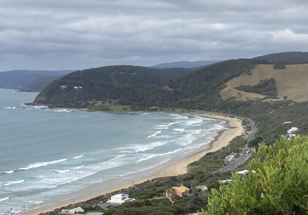
This walk meanders through coastal bushland on the high ground behind Eastern View offering occasional views along the coast. It includes a 1200 m beach walk in soft sand. If tides require changing the direction of the walk, start at the Memorial Arch, and follow the walk clockwise to end there.
The Walk in Detail
The walk starts at the signposted track to Ocean View. After some 40 m, take the left fork. The track goes uphill to the Ocean View Lookout (1) with views east to Aireys Inlet and west to Lorne and then downhill to the Great Ocean Road (2). Cross this busy road cautiously and follow the path down to the beach. Walk west along the beach for 1.1 km to an opening leading to the carpark at Memorial Arch (3). Again cross the Great Ocean Road cautiously and walk west about 60 m to Golf Links Road. Follow this for 200 m to the first left turn, McPhillamy Rd, and turn left (4). Where this road swings left, find and follow the footpad straight ahead through vegetation and then a boomgate and onto an open spur offering good views along the coast. Continue to follow the track generally northwest uphill to a track junction on top of a knoll. Take track heading north and follow it downhill initially then up onto Coalmine Track (5). Follow this for about 3 km to a junction with Moggs Creek Track (6). Turn right and follow this track along the ridge for about 2 km until it splits with one branch going south and the other east (7). Take the east fork through a boomgate for 400 m to a signposted track leading to the Moggs Creek Picnic Area (8) and the cars. Those with remaining energy can explore the 1.8 km Moggs Creek Circuit Track that traverses an area particularly rich in birdlife.
Getting There
The walk starts at the western end of Moggs Creek picnic ground which is 16 km or 18 minutes from Lorne. Follow the Great Ocean Road east. Immediately after crossing Moggs Creek bridge 14.4 km east of Lorne turn inland onto Old Coach Road. After about 50 m, turn left into Old Neuk Road. Follow this road until after it bends around to the right, then turn left into Boyd Avenue and follow the unmade road to the picnic area.
