Distance: Km | Duration: Hrs | Grade: TBA | Rating: | Style: Circuit | Map
About the Walk
Overview
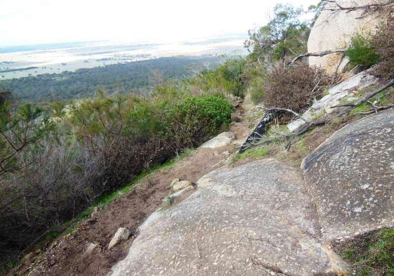
This is a circuit walk that explores the slopes of Flinders Peak in You Yangs Regional Park. The undulating track includes some short steep sections as it weaves its way around and between granite boulders. There are great views out over the volanic plains.
The Walk in Detail
The name You Yangs comes from the Aboriginal words Wurdi Youang or Ude Youang meaning big mountain in the middle of the plain. Explorer Matthew Flinders and three of his crew were the first Europeans to see the You Yangs. They climbed to the highest point on 1 May 1802. Flinders named it 'Station Peak' but this was later changed to Flinders Peak in his honour.
This walk commences at the Turntable Carpark located in the You Yangs Regional Park.
The Park Note advises this walk is 4.5km. However it appears to be closer to 3.8 km.
From the Turntable carpark take the clearly signposted East Walk (will be the right hand track) which skirts around side of Flinders Peak. This track is undulating with some short steep sections and involves some scrambling (for those with shorter legs) through or over stones and boulders along the track. There are great views out over the plains and of the Bunjil Geoglyph. This is one of a series of geoglyphs created by artist Andrew Rogers to commemorate the Melbourne 2006 Commonwealth Games. This geoglyph depicts Bunjil, the traditional Creator Spirit of the Wada wurrung Aboriginal people. With a wing span of 100 metres, it uses 1500 tonnes of rock and can also be seen from Flinders Peak.
After 1.8km you will reach an open clearing on your right with signposts showing the distance covered and distance back to the Carpark along the West Walk (1.8 km in each direction, which doesn't match the distance in the Park Note). Continue on as the track curves around the left becoming the West Walk, and follow it back to the Turntable Carpark. The distance back is more like 2km than 1.8km. There are great views, looking west, out over the volcanic plains.
This walk includes the option of walking up Flinders Peak either before or after completing the East-West Walk. This is a 3.2 km return walk (ie you go up and back by the same route) involving 450 steps and some steep sections. There are great views from the top.
Getting There
Take the Princes Highway over West Gate Bridge towards Geelong. Take the C114/Lara exit and at roundabout take 3rd exit onto Avalon Road. After about 850m turn left onto McClelland Ave. In 1.2km take a slight right onto Station Lake Road. In 350m take 1st exit to stay on Station Lake Road. In 1.4km take the 3rd exit at the roundabout to travel along Forest Road North. Continue for 6.5 km then turn right onto Branch Road and then left into Park Entrance. Follow signs to Turntable Carpark.
Walk Precautions
Additional Information
Turntable Carpark: 


