Distance: 15 Km | Duration: 4.5 Hrs | Grade: Grade 3 | Rating: | Style: Circuit | Map
About the Walk
Overview
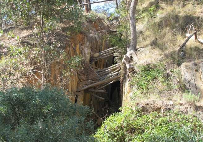
The area is named for the extinct volcano, Bald Hill, which spread it lava north-westwards to form the farming lands of basalt amidst ancient ordovician slates and shales. These form the gold-bearing quartz underlying the central Victorian goldfields. The walk encompasses several of the smaller goldfields of the Daylesford area. These goldfields required water to wash the pay dirt, which was supplied by water races. some races conveyed water from up to 20km away near Twin Bridges. A natural spring, Hendersons, in Boots Gully and a derelict mid-twentieth century slate mine are visited on the walk.
The Walk in Detail
From the starting point (GR 42467) proceed south for 0.9km on Basalt Road to the junction with Old Werona Road (GR 425669). Turn south-west and proceed 500m to a four-way track Junction (GR 421667) and take the right fork south-west. Follow this minor track to the Charlesfor Dam and Mine. The mine is about 200m west of the track junction at GR 422656. Take time to enjoy the ruins of mining operatons.
After inspecting the ruins walk back to the track junction and continue on the track for about 1.7km to Basalt Road at GR 427652. Along this section of Boots Gully there are many ruins. Cross over the road to the start of Humbug Track heading south-east. Follow ths track for 2 km to a minor track junction at GR 436639. Take thetrack east for 300m to Bald Hill Road at GR 439638.
Proceed generally north on Bald Hill Road for 1.9km to the Excelsior Track junction at GR 443656. Turn south-west onto the track and proceed for 400m to GR 441657. In the gully to the north is a water race. Follow the race north along the contours for 800m to a gully at GR441660. Walk north up the gully to a track intersection at GR 441662. Take the track north 450m to GR 440667. Turn left off the track and head downhill to meet w water race at GR 439666 at the head of Lonf Gully. Turn right (north) and follow the race on the west side of the gully until it meets Blowhole Track at GR 434673. Continue west on this track for 100m and pass Yam Gully Road on the right. Turn right at the next junction (GR 431672). Proceed for about 1.2km to meet Basalt Rad at GR 340681. Turn left and follow Basalt Road down into Boots Gully ) GR 426679). Turn right onto Henderson Spring Track and follow the water race to the spring. The spring water may be sampled here. Look across Boots Gully and you should see a faint track, follow this, or simply walk straight across the gully south-west to an old vehicular track. Proceed downhill to the right to the old Boots Gully Slate Mine. Return uphill to where you met the track and continue along the track to the walk start.
Getting There
On exiting Hepburn Primary School turn left (north) on Hepburn-Newstead Road and follow this for 5km to Basalt Road opposite the Lavendula complex. Turn left onto Basalt Road and proceed for a further 5km. Pass through the Boots Gully area (it's clearly marked with lots of boots) and stop just at the edge of the open farmland. Parking is nearby, just off-road or 100m before the edge of the open farm-land (Grid Reference (GR) 424677).Walk Precautions
The walk is mostly off-track and on bush tracks with clay surfaces which become slippery after rain or showers, therefore a walking pole is required by all walkers for safety. There may be snakes and bee hives in season.
